Complex outlook, with a few interesting windows (sand pending, of course)

South-east Queensland and Northern NSW Surf Forecast by Ben Matson (issued Wed 22 Jan)
Features of the Forecast (tl;dr)
- Smaller mix of swells Thurs, easing S'ly winds in most areas (NW on SC at dawn), becoming light by the a'noon
- Tricky outlook for Friday with a small swell combo including some N'ly swell in SE Qld, and freshening N'ly winds that may become NW then variable ahead of a S'ly change
- Punchy south swell for Northern NSW on Sat, initially bumpy with easing S/SE winds, best in the a'noon
- Small leftovers Sun with early light winds
- More S'ly swell events early/mid next week that'll favour Northern NSW, and not SE Qld
Recap
Tuesday delivered a strong mix of initially easing SE then rebuilding E/SE swell, with some parts of the Mid North Coast picking up 5-6ft sets, smaller in the north around 4ft and up into SE Qld where the southern points held 2-3ft but exposed northern ends managed 4ft sets. Winds were light offshore early ahead of afternoon NE sea breezes. Easing surf today was accompanied by early light NW winds before freshening northerlies kicked in (trending more NE on the Mid North Coast). A southerly change has reached the Central/Hunter Coasts (gusting 38kts) and should push into the Mid North Coast into the evening.
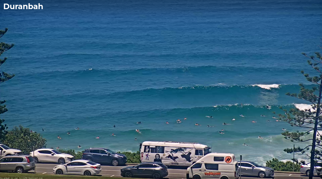
Still some decent sets at D'Bah lunchtime today
This week (Jan 23 - 24)
The approaching southerly change should be getting close to the Qld border around dawn, so most Northern NSW locations can expect some influence from it at first light - but it’s expected to peter out rapidly, with much lighter winds becoming prevalent by lunchtime, potentially light and variable by late afternoon.
Variable winds are likely on the Gold Coast at dawn, trending NW wind up into the Sunshine Coast but the synoptic flow should relax everywhere by mid-late morning.
As for surf, we’ll see an easing mix of E/SE swell from today plus a minor flush of south swell from the fetch trailing tonight’s change (not much though, the fetch will be narrow in width, and brief in duration). So maybe some wind affected 3ft sets at exposed beaches in Northern NSW, smaller inside southern corners, and smaller again throughout SE Qld (not a lot happening on the points).
Late afternoon should also see a new flush of E/SE swell from a fetch that developed off the North Island of New Zealand earlier this week. No major size is expected but we should see 2-3ft sets from this source, smaller into SE Qld and again, not a great deal for the regional points.
As such, I reckon the afternoon is your best chance for a wave across Northern NSW as we’ll see better conditions by this time. Of course, local sand will continue to play a dominant factor in your success. SE Qld could swing either way, at any time of the day.
Looking into Friday and freshening northerly winds will create issues for SE Qld and Far Northern NSW.
However, it’s not all bad news, as initially feared in Monday's notes
First of all, the northerly flow will be unusually long (for a pre-frontal system), extending up into the Central Qld coast, which improves the prospects of northerly swell - mainly across the Gold, Tweed and Byron Coasts, and to a lesser degree Sunshine and Ballina coasts.
Additionally, there’s been a few slight tweaks to the model guidance since Monday, and we may see local NW winds in a few spots north from Ballina, which means open beaches could have workable options.
And lastly, an approaching southerly change is due into the Mid North Coast late morning, Yamba early afternoon and the border late afternoon. Ahead of the change we’ll see light variable winds for a period of a few hours or so, which will also open up opportunities for surfers.
As for swell, there’ll be a mix of easing S’ly and E/SE swells from Thursday (2-3ft exposed beaches in Northern NSW, smaller in SE Qld) however the aforementioned northerly swell may also provide some 2-3ft sets at exposed parts of the southern Gold Coast and Tweed Coast, with smaller options elsewhere.
So the take home message for Friday is to keep a flexible diary based on the lolcal winds, and pounce if you see anything worthwhile.
This weekend (25 - 26)
A small Tasman Low will develop off Southern NSW on Friday, associated with the southerly change.
As suggested in Wednesday’s notes, I’m not keen on the alignment of this system, however the models have consolidated their outlook which improves forecast confidence, and it now looks like we’ll see a punchy south swell for Saturday, albeit it with lingering S/SE winds early on. They’ll ease through the day but it’ll take a while for surf conditions to improve across the coast.
South facing beaches south of Byron should pick up 4-5ft sets, elsewhere will be much smaller, and unfortunately for SE Qld I don’t think we’ll see much surf across the semi-exposed points, which is a shame as they’ll offer the best conditions. Let’s ballpark 1-2ft waves here with wind affected 3ft+ surf elsewhere.
Conditions should improve throughout the day everywhere though.
Sunday has a new southerly swell inbound, generated by a broad though unremarkable polar low and front currently tracking well south of Tasmania. This should increase most south facing beaches south of Byron into the 2-3ft range through the day, with smaller surf elsewhere and not a lot north of the border.
Conditions will be much better with light variable winds and sea breezes.
I'll fine tune the numbers on Friday.
Next week (27 onwards)
A stronger, slightly more northern storm track - though less favourably aligned - will push under Tasmania on the weekend, generating some small sideband south swell for Northern NSW during the start of next week.
This will then be followed by an intense low south of Tasmania around Tuesday - again, poorly aligned within our swell window - but displaying very long swell periods (18+ seconds) that could exaggerate surf heights across south swell magnets considerably around Wednesday afternoon or Thursday.
It’s too early to hone in on specific sizes, so I’ll take a closer look on Friday - however, although this could be a major swell producer for Victoria, I think the poor alignment and Tasmania’s shadowing effects will likely downplay this system’s potential for NSW surfers. It won't do anything for SE Qld either.
Long term prospects beyond this are too tricky to have confidence in right now, but overall it does look like we should see a return to a more seasonal trade flow pattern by the end of the month or early February.
See you Friday!
Comments
Wow the end of next week is starting to look active. Not just some south swell crap that may or may not wrap in at 2 foot into se QLD, but some actual honest east swell. I am fully preparing myself for it to disappear in the blink of an eye though, like every other active outlook in recent times ): I'm hopeful though!
Keep the faith.
As a fellow sunshine coaster. Let's pray together
Prayed too hard lads, models forecasting a 7+m swell for the 2nd Feb hahaha. Surely wont happen given how far out that is but wow!
To see a shortboard-able wave on the noosa points would bring a tear to my eye. Honestly can admit ive had dreams about it!
Southerly change has made it to the Sunny Coast. 45 knot gusts at Cape Moreton.
And back to NNE by 5pm, I am not sure if I can recall an event like that before. Ben can you?
Yeah it's not totally unusual, though it's just rare for morning thunderstorms to pack this much punch.
For some reason I feel like Aus Day is often a turning point.
Saw a particular SN forecaster out at my local this morning. He was being exceptionally courteous down the end of the line up. Can't say the same about the pricks at the top of the line up!!!
Shoulda said hello! I was hanging down the end with my boy, wasn't worth the hassle further up. Got caught by that storm though!
I was going to but I got a good one right into the deeper water and saw that storm was approaching so decided that was my cue to head in.
Hope you and your son got a few.
I was surprised at how quickly the swell faded overnight Tuesday, dawn was 3-4ft but back to about 2ft by midday yesterday.
I went south yesterday looking for wave quality- incon 3-4ft surf on the point before tide killed it.
Still 3-4ft on the beachie in the a'noon though.
Incredible storm damage on the Tweed today. Massive trees uprooted in a wide range of locations, roads blocked (including the M1), houses and cars wrecked. Massive cleanup underway!
Yeh my mate was doing road repairs out Nimbin, said all power was out, trees down everywhere. Took him nearly two hours to get to Lismore!
He called me when he hit Lismore and I was sussing the radar and it looked like murbah and tweed were next in line to be smashed.
We copped a bit in Byron but not like that.
Some parts of the Tweed I was at looked like a tornado had gone through. It's the most damage from a single storm that I've seen in the ten years I've been here.
Just around the corner from me.
https://www.facebook.com/share/p/15yY3P4shB/?
you have to be part of bilambil boardriders see it :)
Yeah the amount of trees down everywhere was insane.
Roads cut due to fallen trees and powerlines.
It was chaos.
Hope we get some sidewinders this arvo when the wind swings more NW.
Much of the north energy going to make it past Cape Byron Ben ?
Had a look at 5.30 this morn but was small and gutless.
North swells are always quite flukey (irrespective if it's a groundswell or a windswell). Wouldn't get your hopes up for anything amazing either way. D'Bah has some 2-3ft sets and the trend is up... but... it's just a windswell.
Thanks Ben, yeh sweet ill keep my hopes low and see how it looks in a few hrs!
There's a slow, clean 1-2fter in a couple spots up here right now.
Probably worth a sniff if that's your thing adsi.
I've had more clean arvo surfs this summer than the last few winters, weather's broken.
Ha!
Messy 2-3ft here- lots of sideways sweep.
V. poor wave quality, as most NE windswells are here.
storm on da way