Patchy surf for the short term; much better long term

South-east Queensland and Northern NSW Surf Forecast by Ben Matson (issued Friday 22nd March)
Best Days: Sat: small E'ly swell with light morning winds. Wed/Thurs: building S/SE swells across SE Qld, nothing great but there'll be small waves at the outer points under fresh S/SE winds. Thurs onwards: building E'ly swells; a chance for something solid and punchy.
Recap: We’ve seen fun small E’ly swells across exposed beaches over the last few days, with peaky sets up to 2ft+ and mainly light winds.
This weekend (Mar 23 - 24)
Today’s Forecaster Notes are brought to you by Rip Curl
*this week's Forecaster Notes will be occasionally brief and erratic, as Craig is on annual leave - to receive notification when they’re updated, please update your account preferences*
No major change to the weekend outlook, with small swells out of the E/NE, keeping exposed beaches rideable with slow, inconsistent waves up to 2ft+.
We'll continue to see long breaks between the bigger waves, which also means lengthy lully periods at times. Keep your expectations low and hopefully you'll be pleasantly surprised.
Saturday morning will be clean with light offshore winds, but freshening northerlies are expected into the afternoon and they’ll become gusty across the Mid North Coast.
Sunday looks problematic south from Ballina as the wind ramps up a little more in strength, but there’s a chance for an early period of NW winds. This is much more likely in the north (i.e. SE Qld) than further south.
Overall, try and make the most of Saturday as I can see winds becoming an issue at most coasts at some point on Sunday, it'll just be earlier (and more prominent) further south.
Next week (Mar 25 onwards)
Monday looks terrible for most coasts. We’ll see a continuation of small infrequent E/NE swell, very similar to what we’re expecting over the weekend, but winds will really start to strengthen from the north in response to an intense low pressure system passing near Tasmania.
We’ll see poor quality local windswells build through the day before easing on Tuesday. Winds should abate on Tuesday to become light and variable ahead of a gusty S’ly change across the Mid North Coast in the afternoon, reaching SE Qld overnight. Otherwise, expect small slow surf across most coasts on Tuesday.
A broad, intense low that’s expected to impact the SA, Vic and Tasmanian coasts on Monday will initially be positioned behind the Tasmanian swell shadow and won’t enter our swell window until early Tuesday morning. This means the first opportunity for a fresh south swell will be very late Tuesday afternoon on the lower Mid North Coast, and Wednesday across remaining Northern NSW coasts.
Unfortunately Wednesday’s fresh southerly swell will be accompanied by strong to gale force S/SE winds across Northern NSW, as a southerly change pushes up the coast, and then eases into a coastal trough. Therefore, despite the chance for up to 3-5ft at south facing beaches (south of Byron), local conditions look poor south of the border on Wednesday as sheltered locations will be much smaller.
SE Qld won’t see much size from the S’ly groundswell but should pick up building short range S/SE swells from the local fetch. Wednesday will probably start off small, ahead of a building trend throughout the day that should supply 2ft, maybe 2-3ft waves to the outer points by late in the day (and bigger, but very wind affected 3-4ft+ surf at exposed northern ends). This will ease steadily into Thursday. Ordinarily it wouldn't be worth getting too excited about, but given the recent spell of small surf (and the northerly stint the days prior) it's probably worth pencilling into the diary.
The rest of the forecast period looks very good for most regions.
A tropical system near Fiji around Monday will slowly evolve into a decent swell generating system through the week, and move westward towards the coast. It’s expected be broad in width and slow moving and is shaping up to deliver an extended period of quality E’ly groundswell. We’ll see small, inconsistent surf fill in around Thursday and Friday (2-3ft+) but next weekend is when we’re likely to see a more prominent round of energy, holding into the start of the following week, closer to 4ft+.
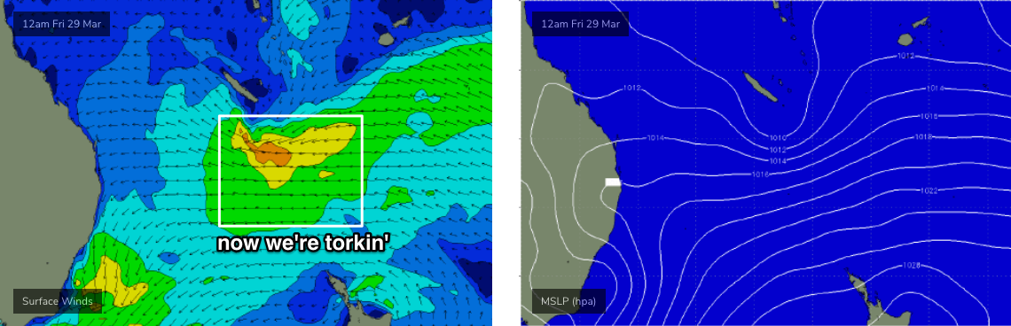
In fact there’s a suggestion this system could evolve into a significant E’ly dip south of New Caledonia later next week (see chart below), generating large surf for parts of the East Coast for the start of April - but this is all quite some time away, so let’s take a closer look on Monday.
Have a great weekend!
Comments
On average, the yearly surf potential in SEQLD is way below the threshold in order to have produced so many world class surfers. Something which is difficult to understand or comprehend.
In surf that could best be described as marginal, still managed to be blown away by how much fun it is.
Water of swimming pool clarity never hurts in that respect.
It was quite alright at first light up here. Clean hollow and dredge.
Gee I don't know about everyone else but I've had such a fun week of waves, surfed twice most days. Banks are in great condition and the whole week had 2-3 ft swell with plenty of push and good winds.
Capped it off with a sunset sesh this arvo and its pure stoke over here!
You had a good summer didn't you?
March has just been more of the same.....constant small weak swell with northerly episodes.
If that lit up your region during summer then March was a good 'un.
If not, worst start to autumn ever. Not even autumn, just summer rolling straight on.
In that light, as Bugs correctly implied, TC Oma was an aberration.
The open beach stretch from Sunshine to Coolum has been really nice (mostly) for the past week in the mornings with light offshore winds. There are lots of rips and banks as sand gets reorganised after cyclone Oma. Nothing big of course but some quality shaped smallish waves. I even saw people tuck into some brief barrels. Lots of room for people to spread out as there is a bank/rip combo every few hundred metres and they are all much the same.
Scored a super fun solo session on Saturday AM with nice banks, offshore winds and peaky E'ly swell bigger than 2ft but still short of 3ft.
Looks like a shallow trough pushed up the Northern NSW coast in the few hours before dawn on Sunday - recorded in the form of a S/SW change at Coffs, Yamba, Byron and momentarily Coolangatta (I was camping at Ballina over the weekend, we had some high based t'storms Saturday night).
This seems to have disrupted the northerly flow and resulting in better-than-expected conditions on Sunday, as the northerly airstream never really kicked in. Even saw a couple of glassy 3ft sets Sunday morning.
Not ridable bump on the ocean today between Forster and Scotts Head. Totally flat.
at least it was a nice drive in a classic car!!