Poor run for the South Coast
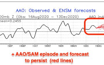
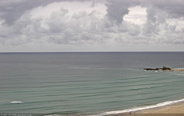
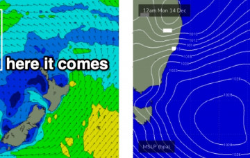
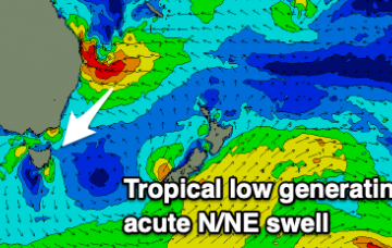
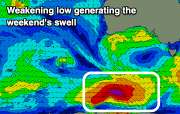
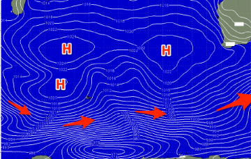
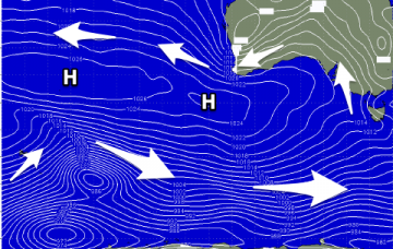
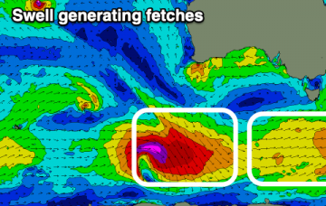
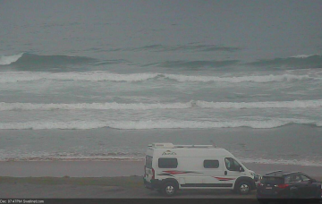
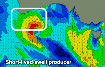
A change this evening will herald in the dreaded sou'easters with no decent swell with size or quality due for the coming period. There is a little glimmer for the Mid Coast.
The coming outlook isn't to flash at all so get stuck in today and make the most of the clean conditions and fun, easing swell.
Of course, Monday will be huge. You don’t need me to tell you that. And most breaks - even many points and sheltered spots - will be a wash out. More in the Forecaster Notes.
A series of complex tropical systems are forming to our north and they’re going to heavily influence our surf, wind and weather over the coming days. More in the Forecaster Notes.
Small southerly swells followed by better north-northeast energy with winds swinging from north to south.
We're currently seeing mid-period swell energy on the coast but this will change on the weekend with a stronger groundswell. Winds will favour selected spots.
A large blocking pattern will dominate the coming fortnight with no significant swells due across the region. Read the notes for a couple of small windows for the keen.
Get stuck into the coming days of cleaner conditions before the summer south-easters kick in along with no real significant swell.
Make the most of the fun beachy days over the coming period before things go onshore and average mid-late next week.
The main focus for the weekend is a stationary ridge of high pressure across the southern Tasman Sea, cradling a deepening trough across the Coral Sea. It's an exciting synoptic chart! More in the Forecaster Notes.