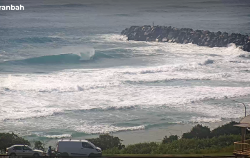
Solid NE windswell tomorrow with an easing trend following Wed
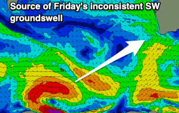
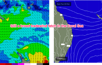
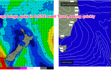
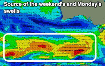
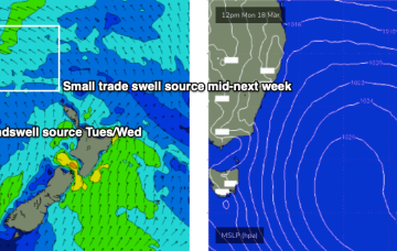
Strong NE winds off the high are generating increasing swells for NETas.
The current building swell and windy conditions will improve through tomorrow as the sizes eases. A fun swell is due later week.
Pretty typical late Summer pattern with a high in the Tasman and a maturing trade-wind flow in the Coral Sea, linked to an active monsoon trough with a small embedded low in the Coral Sea. There is a tropical cyclone in the Gulf of Carpentaria which formed over the weekend but this system is expected to track inland over the NT and Kimberley regions and not be a swell source for the East Coast.
We’ll see this pattern disrupted mid-week by an aggressive trough which brings S winds and swell before the next high slowly resets the trade pattern, this time further north in the Coral Sea.
The gulf will be best over the coming days, with some fun swell and winds from the south-eastern quadrant.
The coming period is very active swell wise but winds will be dicey until about Sunday, when they should improve.
We’re between easterly pulses at the moment and the void will be temporarily filled by short/mid range energy trading today’s change.
Today’s onshore pattern will contract to the North Coast on Saturday, and Sunday looks very interesting with a new long period S/SE groundswell.
There's plenty of surf to come this period with a strong S/SE groundswell for the weekend due to be replaced by N/NE windswell next week.
Favourable morning winds and a strong S/SE groundswell for the weekend.