Stacks of swells to persist for the next week or more

South-east Queensland and Northern NSW Surf Forecast by Ben Matson (issued Fri Mar 15th)
Features of the Forecast (tl;dr)
- Windy waves Saturday with small peelers at protected points
- Building E'ly swells Sun with better winds
- S/SE groundswell for Northern NSW Sun PM and Mon
- E'ly swell holding through most of next week, generally OK conditions
Recap
Strong, easing easterly swell on Thursday morning was still around the 6ft+ mark under mod/fresh S/SE winds north from Ballina, with smaller surf to the south and light winds. Size eased back to 3-5ft this morning with smaller waves now showing across the coast. Fresh southerly winds kicked in before dawn across the Mid North Coast, reaching the Gold Coast mid-morning.
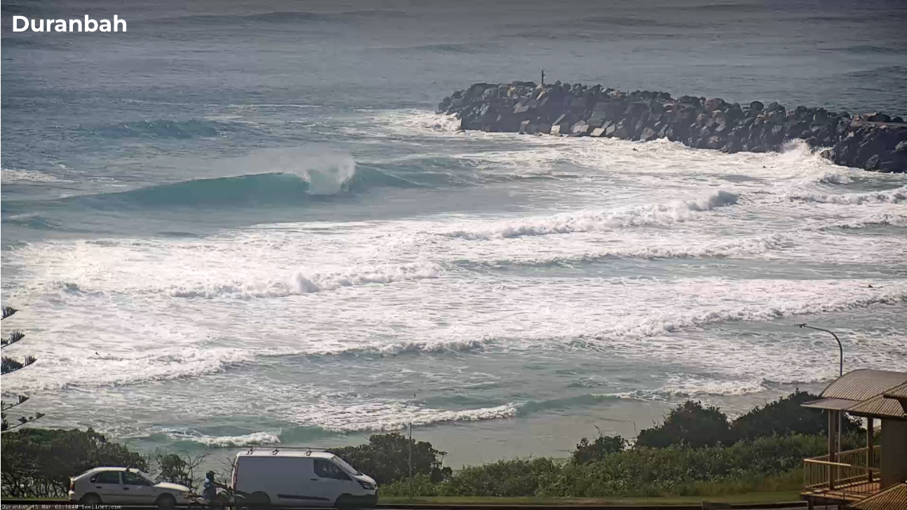
Empty D'Bah mid-morning Friday
This weekend (Mar 16 - 17)
Lots of wind for the weekend, initially S/SE though easing a little and tending E/SE into Sunday. We’ll see much less strength south from Yamba both days, though Saturday looks iffy on the Mid North Coast; Sunday is a better bet for light/variable winds.
As for surf, we’re between easterly pulses at the moment and the void will be temporarily filled by short/mid range S/SE energy trading today’s change. This will create solid, unruly (and very wind affected) option at south facing beaches south of Byron (4-5ft Sat, smaller Sun), but only small clean waves at sheltered locations owing to the initial southerly swell direction.
North of the border will see much smaller surf thanks to the swell direction. South facing beaches are likely to pick up junky 3-5ft sets but the best waves will be across the semi-sheltered points where it’ll hang around the 2ft mark, maybe the odd 3ft set at the outer sections. Expect slow, inconsistent offerings at the southern points and other protected spots.
A re-established ridge through the Northern Sea by Sunday will rebuild mid range E’ly swells during the day, possibly undersized early but likely to push 3-4ft+ across open beaches in SE Qld and Far Northern NSW by the afternoon, with smaller surf south from Yamba.
Sunday will also see a building S/SE groundswell across Northern NSW - probably through the afternoon - sourced from a strong polar low earlier in the week. This may produce some bigger sets in the 4-5ft+ range later in the day at south facing beaches (more so on the MNC than anywhere else).
Sunday’s winds shouldn’t be too much of an issue at most regions; only the Sunshine Coast is at risk of lingering SE breezes that will significantly bump up the open beaches.
Next week (Mar 18 onwards)
A large, slow moving Tasman high will maintain a broad ridge across the northern Tasman for much of next week, resulting in another long spell of east swell.
General surf size should manage 3-4ft all week, though we should see a few days (prob Tues/Wed) with enhanced wave heights across SE Qld and Far Northern NSW thanks to the influence of low pressure troughs around New Cal that will tighten the easterly squeeze a little more within our near swell window.
This could produce bigger waves across northern regions around 4-5ft though in general we’re looking at a super fun size range for just about everywhere, and light morning winds tending mod E’ly in the north throughout the days (more NE on the Mid North Coast).
Monday will also see an early peak in long period S/SE groundswell from the aforementioned polar low, with 4-5ft+ sets across south facing beaches south of Byron. It'll trend downwards throughout the day.
Wednesday has a fresh southerly change pushing up the southern NSW coast, which will reach Northern NSW and SE Qld at some point on Thursday. As such we could see a window of very good waves just before it arrives as winds temporarily swing W’ly. We'll have more on that in the updted forecasts next week.
Looking further ahead and a persistent pattern of trade swells will maintain fun waves across most beaches for the following week or so, whilst a series of short range southerly swells (trailing their parent S’ly changes) will provide solid though somewhat wind affected bouts of south swell - at this stage late Thursday/Friday and again possibly on Sunday.
Have a great weekend!
Comments
Still super fun east swell today, epic lunchtime sesh at Leptospermum laevigatum with not too many out
towards the pulpit was fun aswell. 10 people max
Hopefully this is the case for some of next week’s swell..
Great waves this morning, surfed for 4hrs somehow
Weird chunky surf Sunday afternoon, 3-4ft with some bigger bombs but a lot of waves would stand up on the bank and then roll through unbroken (overlapping swell trains seemed to be lifting the sea level). So took a while to find any kind of rhythm. Nice conditions though with not a lot of wind around.