Mixed bag of SE and S'ly swells in Northern NSW, but not much for SE Qld

South-east Queensland and Northern NSW Surf Forecast by Ben Matson (issued Wednesday 20th July)
Best Days: Thurs: chance for a small SE swell across the Mid North Coast (smaller surf as you head north of Coffs). Fri: chance for a small S'ly swell at south swell magnets south of Byron. Sun: building new south swell in Northern NSW (small early). Remaining tiny in SE Qld. Mon/Tues: reasonably good S/SE swell across Northern NSW, not much elsewhere though.
Recap: Small residual swells and northerly quadrant winds for the last two days. The Coffs buoy picked up a brief spike of new (SE?) swell overnight - denoted by the increase in swell period - however it’s fallen away this afternoon. The Byron Buoy has this swell arriving some 4-6 hours later, though with less apparent strength and it now appears to be easing as well. I was expecting a weak S’ly swell to glance the Northern NSW coast today so this is probably it - set waves are only 2ft now at Coffs Harbour, and very inconsistent. Today also displayed a minor E’ly swell in the water across SE Qld though no great size was reported.
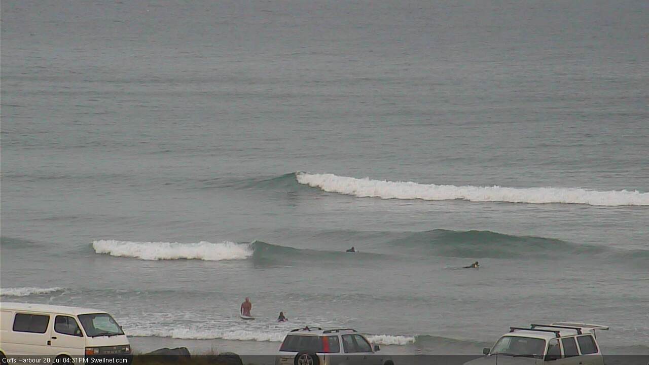
Small S'ly swell at Coffs Harbour this afternoon
This week (Thursday July 21st - Friday 22nd July)
Today’s small new south swell didn’t amount to much in Northern NSW, and there’s nought happening in Southern NSW, so we can safely write off the prospects of any decent leftover south swell on Thursday.
Winds should be light and variable in the south tending moderate NW across SE Qld.
A weak trough pushing off the NSW coast this evening now looks like it’ll display a minor E’ly thru’ SE fetch off its southern flank into tomorrow. This should generate a brief SE swell for Thursday though I can’t see anywhere north of about Coffs receiving much influence from it. The main problem is the trough’s eastwards track away from the coast, and the narrow width of the fetch.
Still, 2-3ft sets may build throughout Thursday across the Mid North Coast during the day (smaller heights as you track north of Coffs; almost nothing north of Byron). Confidence is only low on this swell event though, so don't rearrange your schedule.
In Monday’s notes, I mentioned a second southerly groundswell due across the Lower Mid North Coast late Thursday, reaching remaining Northern NSW coasts by Friday morning. Unfortunately, there’s been a very slightly alignment shift in the responsible fetch so I’m slightly downgrading size expectations for Friday across most coasts.
South swell magnets south of Byron should pick up occasional 2-3ft+ sets on Friday from this source but very little swell is expected to reach remaining beaches, and there’ll be long breaks between waves. The lower Mid North Coast may see this S'ly swell arrive very late Thursday, though it may be hard to distinguish form the aforementioned mid-range SE swell.
Winds are expected to remain NW though there may not be a lot of strength in the morning, ahead of a freshening trend into the afternoon. Try exposed northern corners south of Byron for the best surf prospects.
Across SE Qld, expect very small waves both Thursday and Friday.
This weekend (Saturday 23rd July - Sunday 24th July)
Saturday looks nice and clean across the open beaches of Northern NSW. Freshening NW winds are expected in the north (and across SE Qld), tending W/SW across the Mid North Coast into the afternoon.
However, we’re not expecting much size - there may be a few small leftover lines from Friday’s southerly pulse at south swell magnets, but I doubt we’ll see much more than a foot or two. Most beaches will remain tiny to flat, especially in SE Qld - possibly some small weak N’ly windswell across exposed north-facing beaches on the Gold and Tweed Coasts.
A more vigorous front will push into the south-western Tasman Sea on Saturday, and this will generate a fresh south swell for Sunday. South swell magnets south of Byron should build all day with the mid-late afternoon seeing 3-4ft sets (smaller waves early morning, especially in the north). The models are calling for a little more size than this but I can't see any major foundation for a prominent upgrade yet.
As usual, beaches not directly open to the south will be much smaller, and I doubt we’ll see any new south swell throughout SE Qld, away from one or two reliable south swell magnets (and very late in the day at best).
Winds should veer more to the SW though early westerlies are likely in most regions.
Either way, for weekend surfers Sunday is the pick of the period and you'll be best off south of the border, specifically south of Byron.
Next week (Monday 25th July onwards)
The parent low to the weekend’s fronts still looks very impressive on the synoptic charts, but the latest model runs have shunted the progression further east. This means that a lot of its swell production will occur as the system is transitioning out of our swell window (underneath New Zealand).
This has subsequently downgraded the size and strength of the new southerly swell expected early next week; in fact we’re probably looking at more of a S/SE direction at most spots.
At this stage south swell magnets should pick up inconsistent 3-5ft sets through Monday and maybe Tuesday, with much smaller surf elsewhere and tiny waves persisting across SE Qld.
Smaller residual S/SE swell will then pad out the middle of next week ahead of the next frontal series expected to enter the Tasman Sea around Wednesday or Thursday, renewing southerly swell later next week and into next weekend.
More on this in Friday’s update.
Comments
Seems to be more like a spring pattern across SE Qld for the foreseeable future. Lots of driving ahead if you wanna get wet.
Literally 2 days I'd call cold here so far, even saw rainbow bee eaters this morning. Wouldn't be surprised if the black cockatoos start turning up before July's out and the whales turn around.
There was a reasonable wave nth sunny coast today long period inconsistant,but some options on a very few banks focusing the swell.Mooloolabah bouy showing a long period signal.where that from?
How big SM? We had small but well defined lines on the Tweed too though no bigger than 1-2ft max. Must have been a distant source, possibly a far eastern Pacific system that slipped under the radar.
Yeah the odd three ft single wave. But mostly 2ft .
Nice lines of fresh south swell pushing into Coffs Harbour this morning.