Dynamic weekend and next week

Eastern Tasmania Surf Forecast by Craig Brokensha (issued Monday 15th June)
Best Days: South magnets tomorrow, south magnets later Saturday and Sunday morning
Recap
Choppy and wind affected NE swell to 1-2ft yesterday, cleaner today and hanging in around 1-2ft with a small spike in S'ly swell for the desperate.
This week and weekend (June 16 - 21)
We've got a slightly better pulse of S'ly swell on the cards for tomorrow from the base of the strong frontal system that pushed across us yesterday. We'll hopefully see 2ft sets on the south swell magnets with persistent and favourable W/NW tending N/NW winds.
This swell will fade into Friday as some new N/NE windswell develops Friday and strengthens further over the weekend.
 A stalling and broad low moving in from the west will squeeze a high in the Tasman, with an initial weak fetch of N/NE winds tomorrow likely to kick up 2ft of N/NE windswell for Friday but with NW tending N/NE winds.
The low will strengthen through the weekend while stalling south-west of SA, resulting in a strengthening fetch of NE winds being aimed into us Saturday, swinging more E/NE on Sunday. Now, the models diverge on the positioning, strength and movement on the low still, so we'll have to review the expected sizes and local winds on Friday.
Either way we'll see building levels of NE swell Saturday, likely reaching 3-4ft by dark and with onshore winds, bigger Sunday and to 4-6ft or so as winds swing more onshore out of the E/NE.
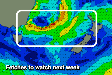
Onshore winds and large amounts of swell are expected to persist most of next week as the slow moving low edges slowly into the Tasman Sea while continuing to aim E'ly winds through our swell window. More on this Friday.
There's one other source of swell for the weekend, that being a strengthening polar fetch of gale to severe-gale W/SW winds through our southern swell window tomorrow and Friday morning.
A good S'ly groundswell is due off this source, reaching 2-3ft by dark Saturday and easing from a similar size Sunday. Something to think about in the mix with the NE energy.