Average short term, but a promising long term

South-east Queensland and Northern NSW Surf Forecast by Ben Matson (issued Fri Dec 15)
Features of the Forecast (tl;dr)
- Small average surf for the weekend, best Sun with winds becoming variable
- Northerlies redeveloping later Mon/Tues, easing Wed
- Better surf potential Wed thru' into the weekend, with slowly building trade swells, and generally light variable winds and sea breezes
Recap
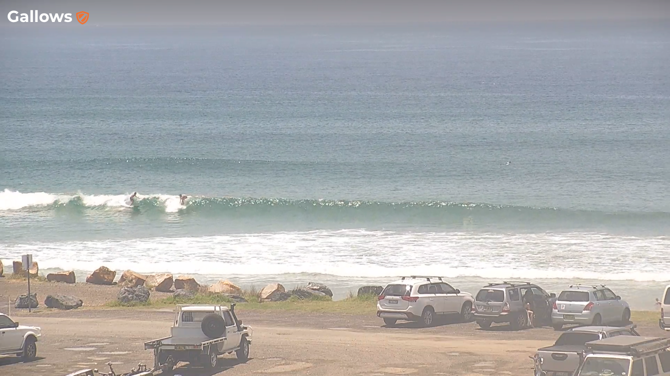
A peaky mix of S and NE swell on Thursday didn’t allow for many options away from sheltered northern corners. A similar mix of small leftover S and NE swells today is pretty slow and weak, though still offering some 2ft sets. Light northerlies across SE Qld are variable across the Northern Rivers, with southerly winds pushing into the lower Mid North Coast.
Small leftover S swell in Coffs Harbour today
This weekend (Dec 16 - 17)
No major revisions for the weekend outlook.
A small mix of swells both days won’t be too dissimilar to what we’ve seen in recent times - there’s a small flush of south swell due across Northern NSW on Saturday (from a front below the continent a few days ago) but it will only favour south swell magnets south of Byron with slow, flukey 2ft+ sets. Elsewhere, wave heights will be smaller.
Sunday has a short range S’ly swell due into the Mid North Coast in the afternoon, sourced from strong W/SW winds exiting eastern Bass Strait on Sunday. But it won’t amount to much, and the morning will be smaller.
SE Qld has no major swell sources on tap so expect a small mix of peaky waves at the swell magnets.
The biggest factor for surf potential this weekend will be the winds.
Freshening northerlies on Saturday will create adverse conditions across most regions - except for a brief window of light winds early morning - so protected northern corners will be your best option.
Note: the latest model guidance maintains a weak trough across the Mid North Coast on Saturday so light winds may prevail south from about Port Macquarie.
Saturday’s freshening winds will be in response to a shallow southerly change that’s expected to clip the lower Mid North Coast on Sunday morning, but probably peter out before reaching Coffs or Yamba.
Ahead of the change - i.e. in SE Qld and the Northern Rivers - winds will swing around to the NW, and then become variable into the afternoon across most coasts.
Also, just a friendly reminder that ‘variable’ winds means ‘from any direction’, so be prepared for anything. It's not a day to plan for great waves.
Across SE Qld, Saturday’s N’ly winds should generate some short range N/NE windswell across north-facing swell magnets for Sunday morning (i.e. mainly southern Gold Coast and the exposed Tweed/Byron coasts). But, there won’t be much size, maybe some 2ft sets if we are lucky.
All in all, keep your expectations low, but you’ll get wet if you are keen.
Next week (Dec 18 onwards)
A weak trough associated with Sunday morning’s change (on the MNC) will linger off the Northern NSW coast on Sunday and then slowly track south into Monday, whilst easing in strength.
It won’t have much strength though a minor E’ly fetch on its southern flank could spin up some small peaky waves for Monday (no more than a couple of feet tops), probably south from Coffs to thereabouts.
The southward-moving trough will then allow northerlies to redevelop across the region from Monday afternoon through Tuesday and maybe early Wednesday, though the most strength will be found south from Ballina, with much lighter winds across the Northern Rivers and into SE Qld.
Either way, without any major activity within our swell windows over the weekend, I’m not expecting much in the way of quality surf for the first half of next week.
Wednesday is where we’ll start to see a gradual increase in new trade swell from a broad easterly fetch developing from this weekend onwards. This synoptic pattern looks to become entrenched, which means we’ll see a long-lived swell event - so there’s no need to pounce, and you’ll be able to work around the winds.
At this stage Wednesday should start to see the odd 2-3ft set by the afternoon (smaller earlier), becoming more consistent into Thursday and Friday, with the following weekend possibly pushing a little higher into the 3-4ft range. Smaller surf will probably show south from about Yamba from this source.
Otherwise, an inland trough approaching Southern NSW early next week is then expected to linger off the South Coast, generating some SE swell for that region mid-late week, which will become smaller as you head up into the MNC (I don’t think we’ll see much energy across the Northern Rivers). The mix of SE and trade swell could be nice across open beaches, if local winds play ball.
And on that note, we are expecting an improvement in surface conditions through the second half of next week into the weekend under a broad trough pattern that should result in light winds and plenty of pockets of opportunity to work around.
Have a great weekend, see you Monday!
Comments
I love these fetches. Just need local winds to play ball now.
I was up on the northern Goldy for a Xmas party yesty arvo when those storms rolled through. Archerfield saw a 3hPa increase in pressure in the space of two minutes (for reference, a 'bombing low' is 24hPa change over 24hrs), resulting in 91kt wind gusts (167km/hr).
Isallobaric push.
Oooh, I love it when you speak dirty, IB.
Long term forecast has the cyclone reforming and going back the way it came. Have that happened before ?
Amazing isn’t it?!
Localised variations in inshore water temps pretty stark.
Once side of a headland, cold green upwelled water- freezing.
Other side, warm and blue.
Same up this way too Steve. Seems local geography/bathymetry playing a part in upwelling also?
Went for a swim (there’s been no reason to surf it of late) at my local (Coolum Bays) this arvo. Place looks unrecognisable for summer, so much sand! The ways the bars appear to be setup make me think the place won’t be much good for a surf for sometime..
Loving the last few days of heat and then the rolling thunder and storms in the afternoon and well into the night. Even if the storm misses the thunder and lightning in the distance is just beautiful.
Another odd summer arvo glass off here this evening. Water was still like Fcking ice.
Same here.
That troughy change stalled out and left no wind at all.
Thick fog enveloping the Northern Rivers and southern Gold Coast right now.
Yesterday's shallow southerly change pushed further north than expected too, reaching Byron at 10am and clipping the Seaway at 1pm.
Winds remained N'ly at the Banana Bank all day though (same latitude as Brisbane) so it looks like it stalled around South Straddie.
That sea fog was unbelievable this morning. I rocked up at the beach and could not see the waterline at all, let along the wave conditions.
more baby food this morning mixed with fog.
come on Huey
With sporadic storms and a few showers here and there I hadn't thought to check the water tanks in ages, almost empty!
nice piccie of the fog at Tweed Bar!
nice piccie of the fog at Tweed Bar!