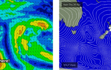
The good news is that there’s been a small upgrade in a new E/NE swell. More in the Forecaster Notes.
Primary tabs
/reports/forecaster-notes/sydney-hunter-illawarra/2020/05/13/nice-run-swell-ahead
thermalben
Wednesday, 13 May 2020
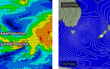
/reports/forecaster-notes/sydney-hunter-illawarra/2020/05/11/swell-sources-galore-though-none-em
thermalben
Monday, 11 May 2020
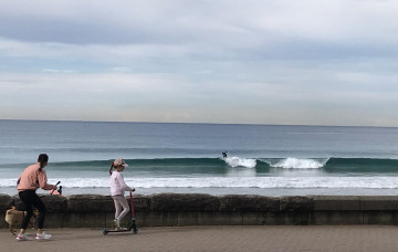
Lots of fun swells on the way, holding through the weekend. More in the Forecaster Notes.

/reports/forecaster-notes/sydney-hunter-illawarra/2020/05/08/reasonable-surf-potential-most-days
thermalben
Friday, 8 May 2020
Model guidance suggests a slow weekend of tiny waves, but I think it’s quite a way off the mark. More in the Forecaster Notes.
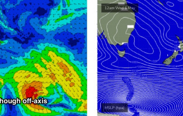
/reports/forecaster-notes/sydney-hunter-illawarra/2020/05/06/coupla-swell-sources-keep-tab
thermalben
Wednesday, 6 May 2020
In general, the trend for the next few days will be small, slow and clean. But there are some interesting swell sources on the boil. More in the Forecaster Notes.

/reports/forecaster-notes/sydney-hunter-illawarra/2020/05/04/make-the-most-the-next-few-days-flukey
thermalben
Monday, 4 May 2020
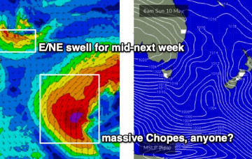
A strong front racing through the lower Tasman Sea today will provide a reinforcing S/SE swell for the coming days. More in the Forecaster Notes.
/reports/forecaster-notes/sydney-hunter-illawarra/2020/05/01/and-it-came-or-coming-the-south
thermalben
Friday, 1 May 2020
The Long Wave Trough currently responsible for cold weather, gale force winds and cold temps won’t push into our south swell window until Saturday morning. More in the Forecaster Notes.
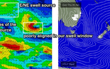
/reports/forecaster-notes/sydney-hunter-illawarra/2020/04/29/punchy-ne-swell-then-strong-sly-run
thermalben
Wednesday, 29 April 2020
As mentioned above (and as also commented on in Wednesday’s notes) the models have stalled the west-east progression of the Long Wave Trough. More in the Forecaster Notes.
/reports/forecaster-notes/sydney-hunter-illawarra/2020/04/27/dynamic-action-the-charts
thermalben
Monday, 27 April 2020
The broad scale pattern for the forecast period will be characterised by an amplifying upper level long wave trough across the eastern states. More in the Forecaster Notes.
/reports/forecaster-notes/sydney-hunter-illawarra/2020/04/24/unfavourable-storm-track-and-flukey
thermalben
Friday, 24 April 2020
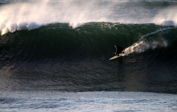
Lots of intermittent south swells on the way. And some activity to the NE too. More in the Forecaster Notes.
/reports/forecaster-notes/sydney-hunter-illawarra/2020/04/22/extended-slow-period-ahead-later-next
thermalben
Wednesday, 22 April 2020
Although the charts look terribly uninspiring for the next few days, I still think we’ll see a small flush of south swell. More in the Forecaster Notes.