Clean and windy days with small-ish swells

Western Australia Surf Forecast by Craig Brokensha (issued Friday 3rd April)
Best Days: Keen surfers in the South West from late morning Saturday and Sunday, Tuesday from late morning, similar Wednesday
Recap
Poor conditions across the South West with strengthening onshore winds and a choppy swell, cleaner and fun around Mandurah, OK in Perth and more so tiny.
The front linked to yesterday's onshore winds has since moved east and turned into a low under our south coast, with the swell from it easing back today with improving conditions in the South West and sets to 4-5ft. Mandurah was better and clean with fun 2ft sets, 1-2ft across Perth.
This weekend and next week (Apr 4 - 10)
There's no real change to the weekend outlook with today's swell expected to drop away, with background swells keeping the South West swell magnets around 3-4ft, tiny to the north.
Winds will be gusty and offshore, better from later morning as they ease, tending variable ahead of late afternoon sea breezes tomorrow, variable all afternoon Sunday.
 Monday morning will be clean again with a gusty offshore E'ly breeze, easing later morning and more variable into the afternoon. The models show an uptick in size but we're likely to see smaller 3ft waves or so across the South West.
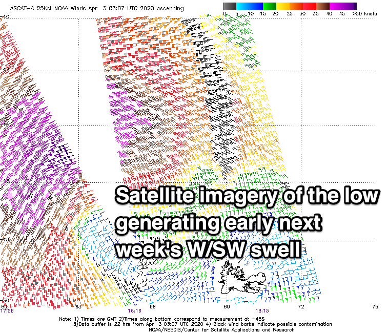
Our inconsistent but fun pulse of W/SW groundswell for Tuesday is still on track, with a tight low forming south-east of Madagascar generating a satellite confirmed fetch of severe-gale to storm-force W/SW winds. This low was short-lived and is now easing while dipping east-southeast north of Heard Island.
This will lead to the swell being inconsistent but good in quality, with it arriving overnight Monday and building through the day Tuesday, peaking into the afternoon and reaching 2ft in Mandurah and Perth, 5-6ft in the South West.
Winds on Tuesday will take a more north-easterly bias, strong out of the NE and tending N/NE later morning, variable into the afternoon. Wednesday looks windier and not ideal as the swell eases.
Moving into the end of the week there's the chance for a new more consistent groundswell from a poorly aligned low developing north-east of the Heard Island region. It's nothing amazing but should generate another pulse of fun sized swell around the 6ft range to the South West.
The only issue are the local winds, which look to tend even more northerly but we'll have a closer look at this Monday. Have a great weekend!