Improving surf on the weekend as the swell slowly eases
Friday, 1 September 2023
Improving surf on the weekend as the swell slowly eases
Friday, 1 September 2023
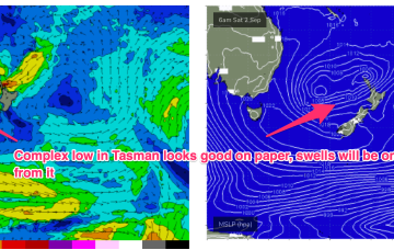
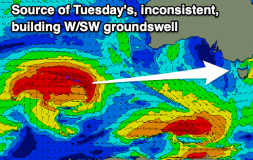
We've got improving conditions that will suit the beaches on the weekend, with moderate sized westerly swells for next week with varying winds.