Tasman Sea a hot, soupy mess with plenty of potential for next week after a fun weekend
Friday, 12 January 2024
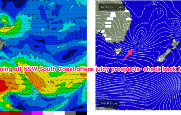
Tasman Sea a hot, soupy mess with plenty of potential for next week after a fun weekend
Friday, 12 January 2024
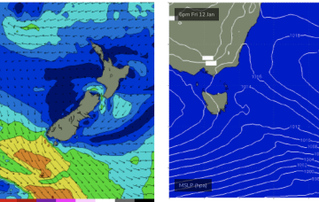
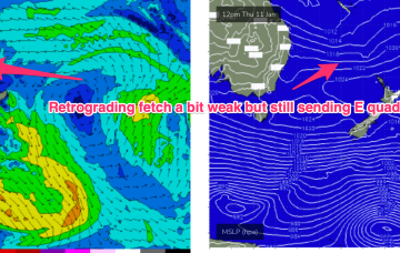
The southwards protusion of winds from a high and retrograding trough will generate fun sized E’ly swells.