Small swells this week, then a tiny spell 
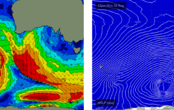
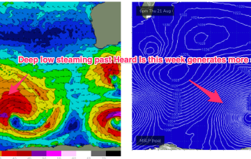
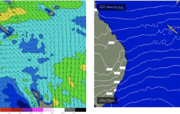
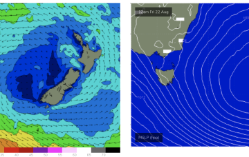
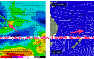
The first will nose into Storm Bay early Tuesday, but probably not show properly until lunch time, with a second swell filling in behind on Wednesday.
The early stages of these fronts have generated some new groundswell that will slowly build in size through Thursday (starting off small) and then into Friday ahead of a peak in size on Saturday morning.
A deepening, complex polar low then spins off multiple fronts all slingshotting NE on an active sea state.
We’ve got a bit of a slow period ahead, though there are a few small swells due over the next few days that are worth capitalising on.
Once the high sets up the ridge we’ll see onshore winds and a deep E’ly flow through the Northern Tasman and Coral Seas.
The dominant player is a massive high moving through the Bight and expected to drift over and eastwards of Tasmania tomorrow to occupy the Tasman for most of the week.
That will be the anvil for any hammer that forms next week. We may see a trough form along the QLD coast in the sub-tropics with a strong E/NE-NE infeed developing from the Coral Sea/Northern Tasman (ECMWF scenario).
We may see a deepening trough and E/NE-NE infeed dip south later next week bringing some sizey E/NE-NE swell to Tas next weekend.