Building westerly swells this week
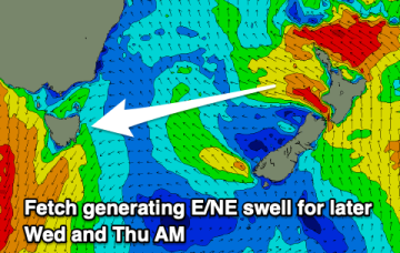
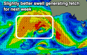
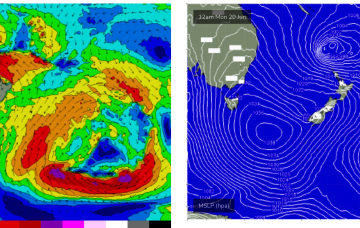
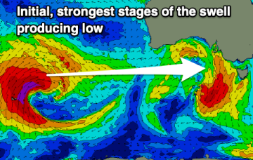
A moderate sized westerly swell is due this afternoon and tomorrow, though onshore on the Mid. Larger swell energy is due later week.
A few fun warm-up waves tomorrow ahead of some better swell energy into Friday afternoon and Saturday, cleanest in protected spots.
A broad region of troughiness stretching from the Tasman Sea through the Coral Sea over the weekend will coalesce into a major sub-tropical low off New Zealand’s North Island, on Monday.
Today's large SE groundswell will ease over the weekend, with some weaker, smaller east swells to follow.
Make the most of the easing SE swell as the outlook ahead is very slow.
No major changes to the weekend’s trend outlook, though wave heights have been nudged up a little given the size and strength seen later today.
There'll be nowhere to recommend for a surf this weekend with better options next week with the arrival of a large W/SW groundswell.
A poor weekend of surf with no decent size on the South Coast but clean conditions. Some better westerly swell energy is due next week.
A period of favourable winds and swells for the exposed beaches developing over the weekend.
The Southern Ocean gyre is now well to the S and SE of the South Island, generating one last pulse of long period swell for our region.