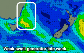
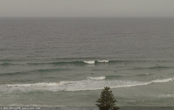
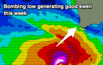
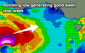
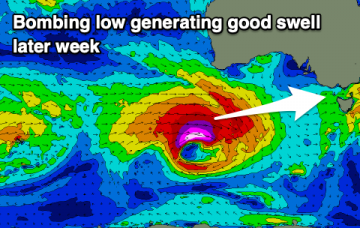
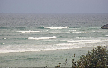
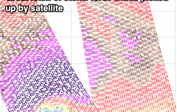
Strong westerly swell inbound
A strong westerly swell has been created and is on its way, with winds opening up plenty of opportunities as it builds. We'll see varying conditions and winds as the swell slowly eases.
A broad trough moving northwards will stifle the synoptic flow in the early hours of the morning, preceding a gusty S’ly change, reaching the Lower Mid North Coast around dawn, the Northern River mid-late morning and then the Gold Coast early-mid afternoon. More in the Forecaster Notes.
Nothing really of note this period but there'll be one day with options for a small runner for the keen.
A vigorous front currently pushing through eastern Bass Strait is presently very westerly in alignment which isn’t great for swell prospects. However we’ll see a slight W/SW kink in the synoptic flow overnight and this will provide just enough directional incentive to allow a brief flush of south swell to push up the Southern NSW coast. More in the Forecaster Notes.
Tiny waves ahead of an upgraded W/SW groundswell into the second half of the week, fading through the weekend.
A gradual improvement in winds and conditions this week with a good, upgraded SW groundswell, fun on the weekend.
There's an upgrade in the coming swell this week as a low 'bombs' south-west of Western Australia today.
Varying winds and swells this week, but we've got an upgrade in the expected swell late week with a 'bombing low' due to generate a good, prolonged W/SW groundswell event.
The only notable feature for next week is a building ridge across the coast from late Tuesday thru’ Wednesday that’ll freshen S/SE winds across the region. More in the Forecaster Notes.
Monday has a chance for delivering a 60% version of today. More in the Forecaster Notes.