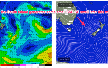
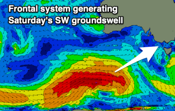
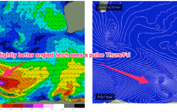
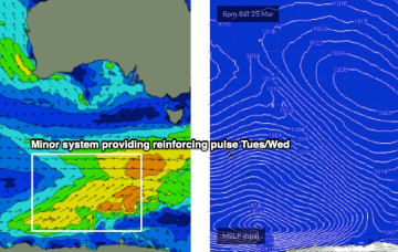
Becoming tiny and almost flat into this weekend
Monday, 27 March 2023
Becoming tiny and almost flat into this weekend
Monday, 27 March 2023
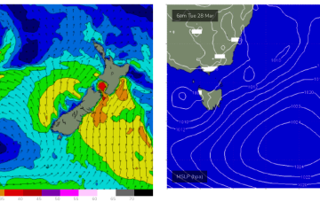
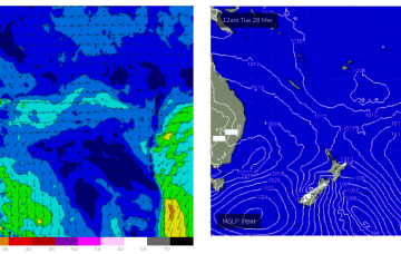
Tradewinds are now contracting Eastwards and the Coral Sea is going to quieten right down this week with only weak pressure gradients and light winds.