Good swells with tricky winds for the South West but mostly light
Friday, 18 August 2023
Good swells with tricky winds for the South West but mostly light
Friday, 18 August 2023
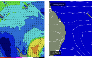
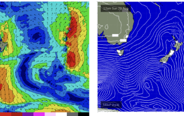
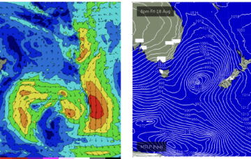
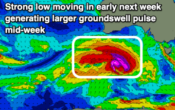
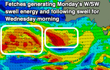
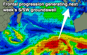
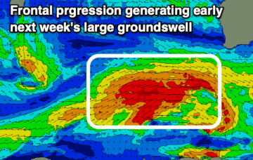
The coming period remains tricky for the South West with no true offshore pattern but windows of decent conditions.