Return swells from the south
Wednesday, 14 January 2015

Return swells from the south
Wednesday, 14 January 2015
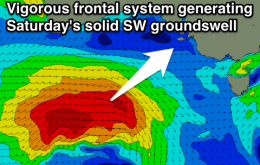
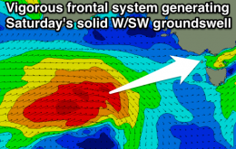
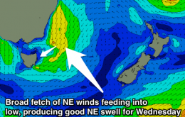
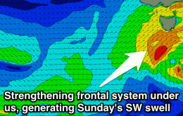
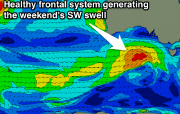
Meanwhile, we’ve got two pulses of return south swell, that will originate from the opposite side of the trough as it clears to the east.