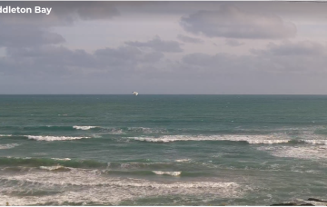
Swell-o-rama, just gotta work around the winds
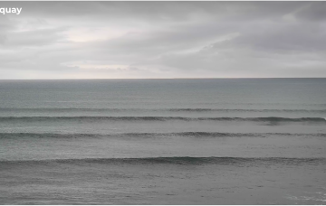
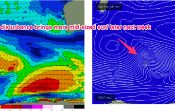
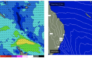
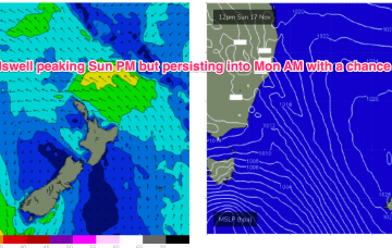
A new swell is expected to build slowly on Thursday plateauing from the afternoon into Friday. Stacks of swell beyond this too!
A new swell is expected to build slowly on Thursday plateauing from the afternoon into Friday, but the main issue for the next few days will be local winds.
Surf-wise a storm force system under Africa sends long period forerunners arriving Mon in the 19-20 second band before the bulk of the swell energy in the 16-17 second band fills in later Mon and Tues.
We’ll see a new high move into the Tasman over the weekend with a SE surge developing up the Tasman and into the Coral Sea. That should see some rideable surf develop under SE-E winds through Sun into Mon and extending into Tues before easing.
Sunday is looking very sizey indeed as the fetch ramps up with low end gales off the coast of Tasmania extending up towards Bass Strait and the Gippsland coast.
Troughiness next week does offer potential for low pressure development in the Tasman but we’ve got high model variability so confidence is very low in the outcomes.
A high pressure ridge across the state will bring light morning winds and afternoon sea breezes on Tuesday, as wave heights continue to ease.
Saturday morning looks great at Victor with easing swells and freshening northerly winds as a vigorous front approaches from the west.
Into the weekend and a fetch tracking NE towards WA related to the decaying front brings a nice pulse of S/SW swell for the weekend.