Fun options east of Melbourne
Monday, 19 February 2018
Fun options east of Melbourne
Monday, 19 February 2018
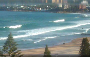
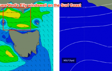
We should however see some great beachies east of Melbourne with the offshore breeze
We should however see some great beachies east of Melbourne with the offshore breeze
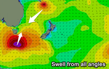
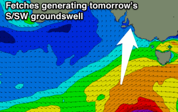
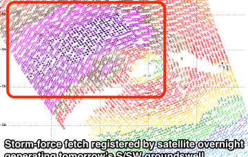
I can’t in good conscience ignore a Cat 3 cyclone aligned really well within our swell window, aiming 50-60kt winds at such close range, and simply issue a size forecast that is also theoretically possible from a standard winter Tasman Low or an E’ly dip within a fully developed trade flow.
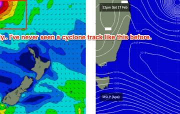
I have no doubt that Severe Tropical Cyclone Gita is going to become Exhibit A in a meteorological course module at some unsuspecting university down the track.
Great conditions all day tomorrow with a good S'ly groundswell and building NE groundswell. Persistent levels of NE groundswell through until Wednesday, largest likely Tuesday/Wednesday with workable winds.
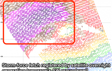
Strong large SW groundswell tomorrow morning, easing during the day with offshore winds. Onshore Sunday with a late increase in new swell, peaking Monday morning as onshore winds persist. Average Tuesday as well.
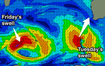
Average tomorrow with a low point in swell and S/SE winds. New inconsistent SW groundswell for Sunday morning with an early SE wind. Mix of swells for Tuesday, cleaner and easing Wednesday. Larger swell for Friday.
Good S/SW groundswell for tomorrow morning with favourable winds, easing Sunday with a S/SE change and poor winds Monday with a new S/SW swell. Cleaner and peaky Tuesday, small to tiny Wednesday. Possible small W/SW swell for the Mid next Thursday.
A strong mix of SW and S/SW groundswells tomorrow with a morning NW breeze, more variable winds as the swell eases Sunday. Strengthening E/SE winds Monday with a new S/SW swell and building SE windswell, improving slightly to the east Tuesday and more so Wednesday but small.
Small waves over the coming days with a drop in NW swell tomorrow and background energy over the weekend. Fun inconsistent NW groundswell for Monday, easing Tuesday ahead of a large NW groundswell Thursday.
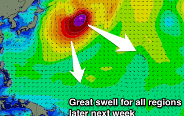
Yeah, this is as high as I've ever called for this region but it's hard to look at the synoptics and find a reason not to - in fact given the lack of analogous swell events to work off, this prediction may even be somewhat conservative.