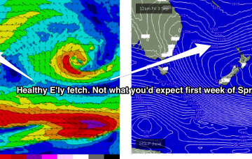
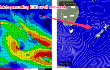
Active Tasman sea with swell from the NE and ENE incoming
Monday, 30 August 2021

Active Tasman sea with swell from the NE and ENE incoming
Monday, 30 August 2021
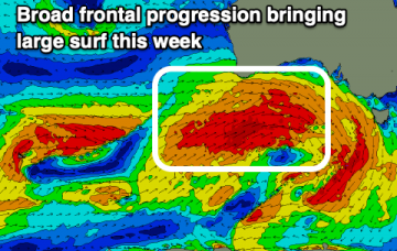
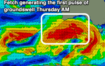
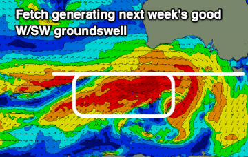
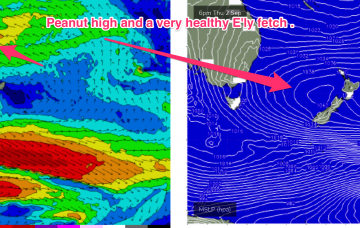
N’ly winds then freshen again Thursday with a much stronger fetch adjacent to the NSW coastline and extending down to the Tasmanian coast brings a stronger flush of NE windswell.