Average weekend of waves; extended period of fun E/NE swell from Tuesday onwards

Sydney, Hunter and Illawarra Surf Forecast by Ben Matson (issued Friday 24th February)
Best Days: No great days due to funky winds and flukey swells.
Recap: So, Thursday’s south swell came very close to expectations. The morning displayed solid but inconsistent 3ft sets at south facing beaches, and surf size eased slowly throughout the day. Winds were up from the N/NE all day so northern corners had the cleanest conditions. Today we’ve seen lighter, more variable winds with cleaner conditions, and a smaller mix of swells in and around the 1.5-2ft range, mainly at NE facing beaches and smaller at south facing beaches.
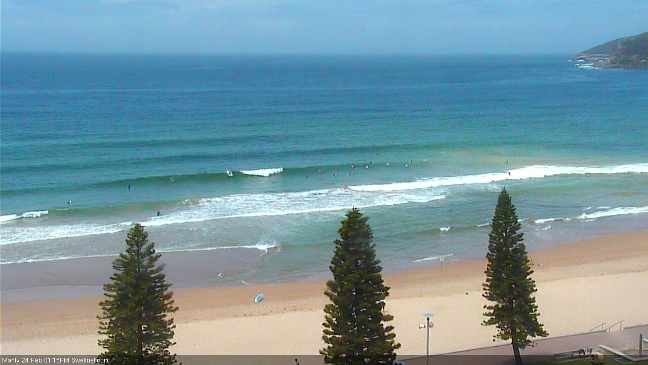
Some fun little waves at Manly this afternoon
This weekend (Feb 25th - 26th)
A slow moving trough across the Southern NSW coast is forecast to track a little more gradually northwards than Wednesday’s models suggested.
This means the building short range SE component has been pushed back a day or so, and will build through Sunday ahead of a peak on Monday.
Prior to this, we’ll see building short range S’ly swells on Saturday from a southerly fetch developing behind the trough, currently off the South Coast. South facing beaches should see some 2-3ft sets though quality won’t be high. Winds are expected to be moderate to fresh S’ly in parts though may ease off into the afternoon ahead of a resurgent SE flow into Sunday.
Saturday’s south swell will ease back a little into Sunday morning but as the onshores freshen they’ll generate some low quality windswell that will build surf size across open beaches into the afternoon. However, SE winds will redevelop throughout the day (slim chance of an early light/variable period, but we’ll probably be between short range pulses at this time), so expect conditions to be a little worse for wear in general. Afternoon size should reach 3ft at most open beaches.
Also worth noting that the the trough axis will probably be across the Hunter region so there’s a chance for an extended period of light winds through Sunday morning north of Sydney, though I wouldn’t bank on the surf being especially fantastic due to a lack of quality groundswell.
Next week (Feb 27th onwards)
The models have eased back a little on this slow moving trough so surf size will probably max out around the 3ft mark on Monday.
At the same time the coastal trough will be undergoing a transformation as a broad ridge builds across the central/eastern Tasman Sea. This should ease surface winds throughout the day. Size will eventually ease into the afternoon and this is the most likely window of light winds but either way it’ll be worth keeping an eye on things as these short period swells often produce fun peaky results across otherwise bankless beach breaks.
From here on it looks like we’ve got a blocking synoptic pattern setting up in our eastern swell window, comprising a coastal trough in NSW and a high pressure system in the south-eastern Tasman Sea. And as a result we've got some really good surf on the way.
A broad, stationary ridge is expected to develop to the north - across the greater Tasman Sea and South Western Pacific Ocean - and although surface winds aren’t expected to reach very high strengths, the sheer size and coverage of this fetch should allow for a fun, looking lined E/NE swell from Tuesday through next weekend and beyond into the following week. That's quite an extended period of surf from one source.
And, with some luck the coastal trough will keep local wind speeds at bay - we may see periods of onshores but in general it’s looking reasonably favourable on the surface.
As for size, for the most part exposed beaches should fluctuate with peaky sets all week in the 2-3ft+ range. However I’m keeping my eye on a possible modelled E’ly dip forming in the Central Tasman mid-late week that could very well provide a much bigger boost to the Southern NSW coast later next weekend or early in the following week, possibly twice the size of the mid-week surf.
More on this in Monday’s update!
Comments
nice to see some swell on the cards for my week off! However Ben you say the swell will be ENE but your models and other forecasters are saying E to SE...?