Very active few days ahead

Southern Tasmanian Forecast by Craig Brokensha (issued Wednesday July 30th)
Best Days: Friday, Saturday morning, Sunday selected spots
Features of the Forecast (tl;dr)
- Late increase in inconsistent SW groundswell tomorrow, peaking Fri
- W/NW tending SW winds tomorrow
- Moderate sized, reinforcing SW groundswell for Fri with NW tending variable N/NE winds
- Likely larger S/SW groundswell Sat with N tending fresh NE winds
- Easing swell Sun with strengthening N/NE winds
Recap
A localised increase in weak swell was seen yesterday with onshore winds, much cleaner today but fading quickly from 1-2ft.
This week and next (Jul 31 - Aug 8)
Tomorrow looks to start tiny, but later in the day we should see a new, inconsistent SW groundswell building, generated by a very strong though short-lived low that formed in the Heard Island region earlier this week.
Satellite observations have picked up storm-force core winds and while inconsistent, we should see 2-3ft sets by dark tomorrow across Clifton, holding a similar size Friday morning.
A reinforcing pulse expected through the day from a follow up fetch of severe-gale W/NW winds tracking towards the polar shelf should produce better 3ft+ sets before easing into Saturday.
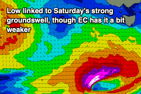
Now a third and final pulse of even larger swell is expected Saturday generated by a strong polar low forming directly south of us on Friday.
This should generate a great fetch of severe-gale W/SW winds late in our swell window, producing a moderate + sized pulse of S/SW groundswell during the day to 3-4ft, easing quickly Sunday from 2ft.
The European model has this fetch a touch weaker so check back Friday for any final revisions on the expected size.
Looking at the local winds and W/NW tending SW winds are due tomorrow with NW tending variable N/NE winds due on Friday.
Saturday should see N tending fresh NE winds with increasing N/NW winds through Sunday as the swell eases.
Longer term we’ve got building levels of W/SW groundswell due later next week though the storm track is a little too far north and less than ideal. More on this Friday.