Mixed swells with average winds
Monday, 27 November 2023
Mixed swells with average winds
Monday, 27 November 2023
The coming period will be plagued by poor winds.
The coming period will be plagued by poor winds.
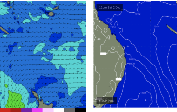
Meanwhile the Coral Sea remains filled with weak winds, mostly glassed out over the short term with a N’ly flow developing mid week. We’re looking at continuing tiny/flat conditions this week with just minor NE windswell unlikely to be rideable.
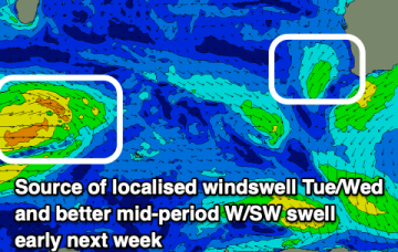
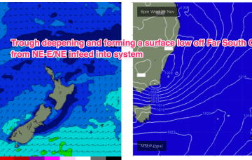
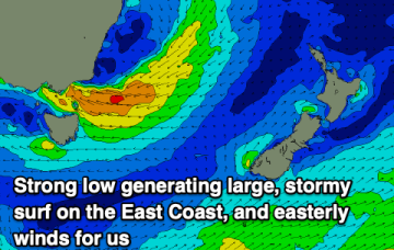
Most of the infeed into the system and resultant flow off the southern flank of the low is now focussed on Southern NSW and Tasmania (compared to Mondays notes). Large to XL swells this week are expected as the system forms and drifts south.
Some weak W/SW swell will provide surf across metro locations with workable winds.
The coming outlook remains poor thanks to persistent high pressure squeezed by troughs to our east.
A small trough of low pressure off the sub-tropical coast (SEQLD likely) will see a brief flush of E/NE swell. One bright spot in a very dull forecast.
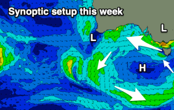
Another dynamic week ahead with a complex trough expected to form a surface low off the NSW South Coast mid week, details below.
The coming outlook is poor both wind and swell wise. The drivers are detailed in the notes.
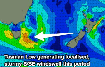
The coming period is generally poor thanks to a low forming to the south-east of the state.
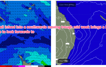
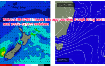
By Wed we should see another building trend as another trough deepens in Southern NSW/Gippsland and a strong infeed into the trough builds E/NE swells.