Mixed swells with average winds

Southern Tasmanian Surf Forecast by Craig Brokensha (issued Monday November 27)
Best Days: Tomorrow morning, selected spots for the keen Wednesday morning
Features of the Forecast (tl;dr)
- Easing S/SE swell tomorrow with variable S winds, freshening through the day
- Small, background SW swell for later tomorrow and Wed with freshening E/SE-E winds
- Easing swell Thu with strengthening E/SE-E winds
- Tiny Fri with E-E/NE winds
- Poor Sat with strong S/SE winds
- S windswell Sun with gusty S/SE winds
Recap
A tiny, wet start to Saturday as a deepening trough moved across the region, with a building, poor quality S/SE windswell seen through yesterday as the trough formed into a low south-east of the state.
The swell was still chunky this morning but with the western arm of the low directing S'ly winds into the South Arm.

Bumpy surf today
This week and weekend (Nov 28 – Dec 3)
The low linked to the current swell is now moving off to the east and with this we'll see the swell fading through tomorrow though still coming in at 1-2ft. Winds may be variable for a short period tomorrow morning before freshening from the S/SE through the afternoon.
Into the late afternoon, some small background swell is due, peaking Wednesday morning, generated by a good fetch of strong to gale-force W/NW-NW winds that formed east of the Heard Island region on Friday.
Inconsistent but fun 2ft sets are due, before easing back Thursday.
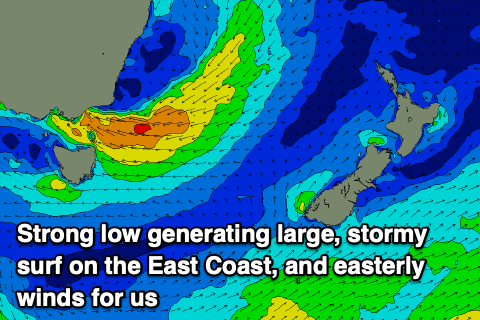
Unfortunately an inland low across the south-east of the continent is due to drift south-east while strengthening mid-late week, bringing E/SE winds that will freshen on Wednesday, strengthening from the E-E/SE on Thursday, shifting E-E/NE on Friday.
With these winds and small swell there'll be limited options for a decent wave from Wednesday.
The low will generate some small E'ly swell for down the Arm but with those onshore winds, shifting SE and strengthening from the S/SE on the weekend as we fall under the backside of the low.
This will generate some localised windswell but again with poor conditions.
Longer term we may see a shift in the pattern but there are no major swells on the cards of yet, with incoming activity being too far north. More on this Wednesday.