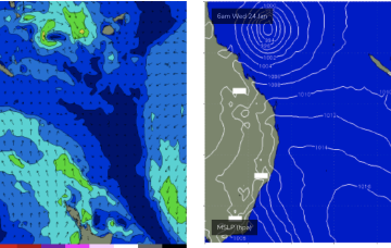
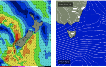
Slower period with workable windows
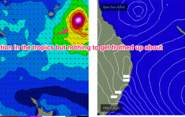
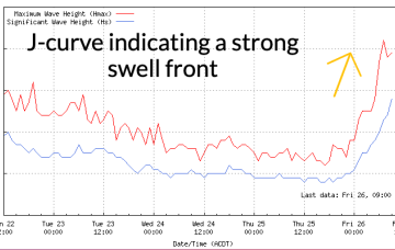
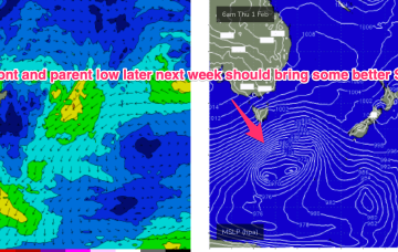
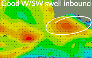
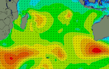
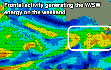
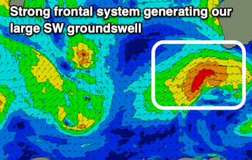
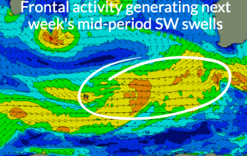
As the current swell eases, the coming period looks less favourable with windows of OK waves in the South West.
Further ahead and the tropics remains active with a long monsoon trough extending from the Coral Sea out into the South Pacific Convergence Zone. Strongest winds are the monsoonal surge nor-westers along the top of the trough but there are signs more favourable E’ly winds will develop along the bottom of the trough later next week, favouring sub-tropical regions for small E swell either later next weekend to into the week 5/2
There's no change to the incoming W/SW swell but the South Coast looks to offer a window of cleaner conditions early tomorrow.
A weaker front Wed may bring some small S swell later Thurs into Fri but a much stronger system tracks NE into the Tasman Thurs/Fri with a wide band of gales suggesting a more substantial S swell event sometimes next weekend.
The coming few days are worth making the most of before onshore winds move in from Monday afternoon next week.
Make the most of the weekend's swell under weaker monsoonal winds.
We’ll see fun waves peak through Thurs morning before easing into Fri and becoming tiny over the weekend.
The coming period is slower, with a weak W/SW swell for the weekend.
Absent that, with weak high pressure in the Tasman we’ve only got local wind swells to keep wave zones active this week, and into next. Let’s take a look.
A large swell is due tomorrow though winds will favour selected spots, with cleaner conditions due as the swell eases.