A return to winter but with a great swell
Monday, 30 January 2023
A return to winter but with a great swell
Monday, 30 January 2023
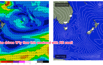
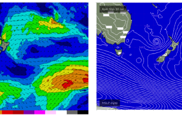
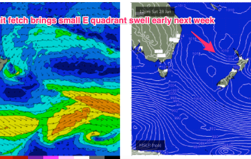
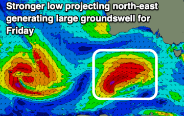
We've got plenty of activity due this week, climaxing with a large SW groundswell and return to winteresque conditions and weather late week.