More surf days opening up (besides the weekend)

South Australian Forecast by Craig Brokensha (issued Wednesday 11th March)
Best Days: South Coast magnets tomorrow, Friday morning, Monday morning, Tuesday morning, Wednesday morning - nothing on the Mid
Recap
A slight kick in swell yesterday with slightly cleaner but still average conditions down South, flat on the Mid.
Today we've seen better and cleaner waves develop on the South Coast with an offshore NE breeze and 2ft of inconsistent groundswell, tiny to flat on the Mid Coast.
This week and weekend (Mar 12 - 15)
We'll see the surf continue to improve into tomorrow and also be fun Friday morning ahead of a strong onshore change.
Our slightly better pulse of S/SW groundswell for tomorrow morning should offer a little more size and power across Middleton with sets to 2ft to nearly 3ft, much better at more exposed breaks and with a moderate to fresh N/NE winds, tending N/NW and easing ahead of possible weak SE sea breeze
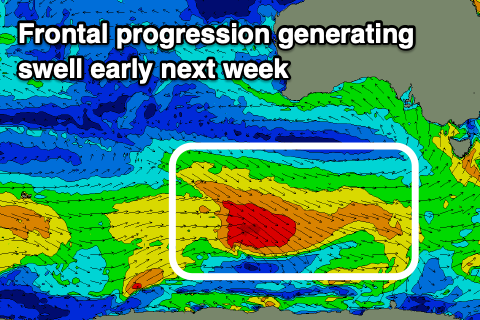
Come Friday we've got our new inconsistent SW groundswell on the way, generated by a good polar fetch of severe-gale W/NW-W/SW winds in our far swell window, just east of Heard Island.
There's been no change to the expected size, with the swell due to arrive in the morning and build to 3-4ft off Middleton by midday/early afternoon.
With the direction of the swell we'll see no real size on the Mid Coast, with it struggling to top 0.5ft.
Winds will be best early and W/NW-NW at dawn, shifting W/SW late morning and then strong S'ly into the afternoon, so get in before lunch.
Moving into the weekend and Saturday still looks poor with a mix of easing SW groundswell and new S/SE windswell with fresh to strong S/SE-SE winds.
Winds should shift more E/SE-E into Sunday but the surf will remain a mess and unruly with 3ft+ of windswell and groundswell, better into early next week.
Next week onwards (Mar 16 onwards)
 Moving into next week we should see winds improve from the weekend, swinging offshore from the E/NE-NE on Monday morning and better Tuesday and Wednesday out of the N/NE.
We'll also see some fun new SW groundswell filling in, building Monday and easing Tuesday.
The source of these swells will be a persistent progression of not overly strong polar fronts, generating some consistent mid-period energy for Monday morning, while a stronger low generating pre-frontal W/NW gales looks to generate a better groundswell into the afternoon, with both easing Tuesday.
Size wise Middleton looks to reach 3ft+ Monday afternoon and ease from Tuesday, tiny to flat on the Mid Coast, but we'll have another look at this Friday.
Comments
All he could say over and over was "Nothing on the mid, nothing on mid" as he rocked himself slowly backwards and fowards.
Ahhh - I reckon you've had a reasonable run this summer MIDdleman
Memories only carry me so far...
What summer??