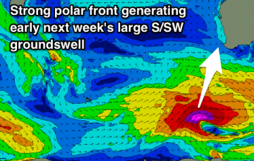
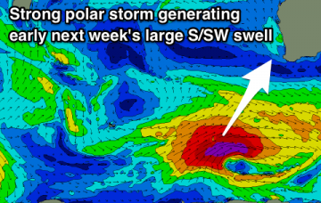
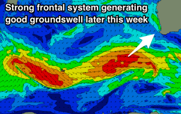
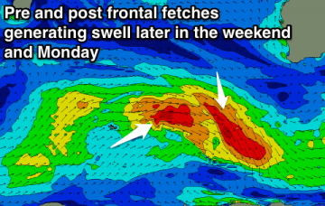
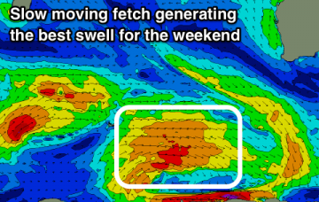
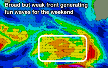
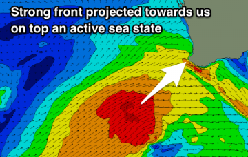
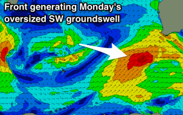
Plenty of size during the coming forecast period but winds won't be ideal at the peaks in swell energy.
Primary tabs
Plenty of action this forecast period with a large mid-period swell ahead of a stronger long-period swell but more out of the south. Decent winds as the swells ease.
Fun swells over the coming days with favourable winds ahead of a larger swell late week.
Building surf over the weekend with improving winds, with good conditions developing again from Tuesday.
OK conditions for keen surfers across the South West tomorrow morning, better from later in the weekend with more swell and improving winds.
Large easing SW groundswell tomorrow with OK winds, though not great, mostly average Wednesday. Smaller swells but clean conditions for the weekend.
A couple of cleaner windows of fun waves for Perth and Mandurah this forecast period, less so for Margs, with an oversized swell for Monday.
Poor conditions over the coming days with building and strengthening swells with onshore winds. Large and improving next week.
Good new swell building through tomorrow, easing Wednesday with windows of clean conditions. Onshore winds and stronger, larger swells developing later in the forecast period.
Nowhere to surf this weekend with stormy waves into Sunday, better next week with stronger groundswells and periods of clean conditions.

