/reports/forecaster-notes/southern-tasmania/2021/07/09/tiny-flat-run-surf
Craig
Friday, 9 July 2021
The coming outlook is void of any swell generating systems.
/reports/forecaster-notes/southern-tasmania/2021/07/07/get-stuck-in-the-weekend
Craig
Wednesday, 7 July 2021
Make the most of the current small waves as the outlook from the weekend and beyond is very average.
/reports/forecaster-notes/southern-tasmania/2021/07/05/poor-tomorrow-fun-run-the-end-the-week
Craig
Monday, 5 July 2021
Give tomorrow a miss but aim for a surf from Wednesday.
/reports/forecaster-notes/southern-tasmania/2021/07/02/tiny-weekend-new-swells-next-week
Craig
Friday, 2 July 2021
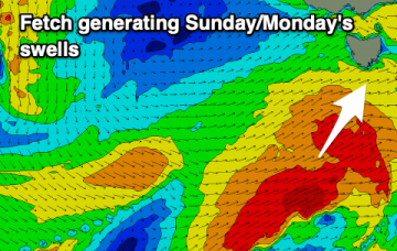
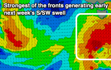
Nothing to surf on the weekend, with a run of S/SW swell for next week.
/reports/forecaster-notes/southern-tasmania/2021/06/30/easing-sse-groundswell-slow-thereafter
Craig
Wednesday, 30 June 2021
Easing S/SE groundswell through tomorrow and then tiny ahead of some small pulses next week.
/reports/forecaster-notes/southern-tasmania/2021/06/28/sse-swell-make-the-most
Craig
Monday, 28 June 2021
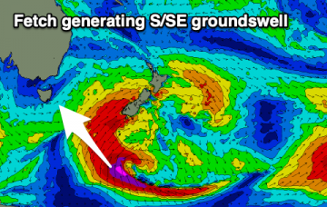
Get stuck in over the coming days with a mix of easing S/SW swell tomorrow and new S/SE groundswell Wednesday.
/reports/forecaster-notes/southern-tasmania/2021/06/25/fun-run-surf
Craig
Friday, 25 June 2021
Good swells and favourable conditions for the most part over the coming days, bottoming out late next week.
/reports/forecaster-notes/southern-tasmania/2021/06/23/fun-swells-friday
Craig
Wednesday, 23 June 2021
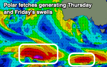
A run of polar fronts and generally favourable winds for the coming period with some decent surf days in the mix.
/reports/forecaster-notes/southern-tasmania/2021/06/21/fading-surf-more-action-late-week
Craig
Monday, 21 June 2021
Clean, fading surf with better swell potential from late week, though winds won't be favourable initially.
/reports/forecaster-notes/southern-tasmania/2021/06/18/fun-surf-days-sunday
Craig
Friday, 18 June 2021
Average conditions tomorrow with an easing swell, better from Sunday with improving winds and a fun, building W/SW groundswell.


