/reports/forecaster-notes/south-east-queensland-northern-new-south-wales/2017/09/01/easing-weekend
thermalben
Friday, 1 September 2017
It’s a relatively straight forward forecast for the weekend - easing size from this point onwards, with light variable winds for much of Saturday, freshening from the north Sunday.
/reports/forecaster-notes/south-east-queensland-northern-new-south-wales/2017/08/30/another-round
thermalben
Wednesday, 30 August 2017
The current E’ly swell is modeled to hang into Thursday morning of a similar size as per today, before easing slowly throughout the afternoon.
/reports/forecaster-notes/south-east-queensland-northern-new-south-wales/2017/08/28/multiple-sly
thermalben
Monday, 28 August 2017
Strong southerly swells from the Tasman Low will fill in across Northern NSW overnight, but then trend down fairly quickly from Tuesday lunchtime onwards.
/reports/forecaster-notes/south-east-queensland-northern-new-south-wales/2017/08/25/average-weekend
thermalben
Friday, 25 August 2017
Not a lot to get excited about this weekend. Though late Sunday has potential down south.
/reports/forecaster-notes/south-east-queensland-northern-new-south-wales/2017/08/23/brief-window
thermalben
Wednesday, 23 August 2017
Sunday looks interesting for Northern NSW.
/reports/forecaster-notes/south-east-queensland-northern-new-south-wales/2017/08/21/tuesday-morning
thermalben
Monday, 21 August 2017
We’ve got a pretty uninteresting week ahead.
/reports/forecaster-notes/south-east-queensland-northern-new-south-wales/2017/08/18/large-south-swell
thermalben
Friday, 18 August 2017
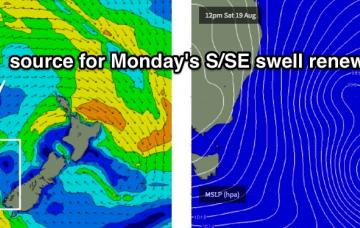
Sunday will be very big across exposed spots.
/reports/forecaster-notes/south-east-queensland-northern-new-south-wales/2017/08/16/brief-nly-swell
thermalben
Wednesday, 16 August 2017
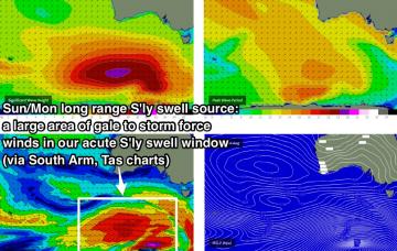
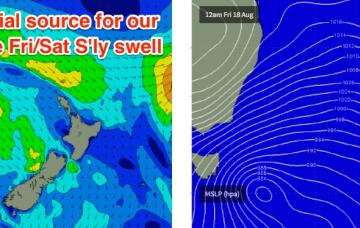
We’ve got a big weekend of south swell ahead, but prior to then the outlook is pretty tricky.
/reports/forecaster-notes/south-east-queensland-northern-new-south-wales/2017/08/14/several-funky
thermalben
Monday, 14 August 2017
Prior to this there’s another interesting region of swell generation that may keep us active at some unusual locations.
/reports/forecaster-notes/south-east-queensland-northern-new-south-wales/2017/08/11/easing-surf
thermalben
Friday, 11 August 2017
Today’s slightly delayed south swell will peak overnight and trend down through Saturday.

