Understanding the sea breeze: Part 2

In Part 1 we explained the basics of sea breezes, what causes them and how surfers could benefit from localised wind swell. For ease of understanding Part 1 assumed a scenario with zero synoptic wind (also known as gradient wind), but now we step into the real world where the wind is almost always blowing.
Before we go, we need to make clear the difference between sea breezes and synoptic wind.
Sea breezes, as explained in Part 1, arise from temperature differences - ostensibly the temperature difference between land and sea. Synoptic winds are driven by pressure differences. All those lines on the synoptic map - called isobars by the way - show areas of equal pressure and they illustrate how the atmosphere is forever trying to find equilibrium by flowing from areas of high pressure to areas of low pressure. That flow is the synoptic wind.

Synoptic (or gradient) winds flow from high pressure to low pressure areas, however the coriolis force 'bends' them to the left in the southern hemisphere.
Outside of the tropics it’s rare to have long periods without any synoptic wind blowing, hence why Part 1 was largely theoretical. When a sea breeze is blowing it’s often working with or against an existing synoptic wind, and depending on the strength it can either override, nullify, or amplify the sea breeze.
I’ll deal with each one in order:
If the wind blows offshore on a hot summer day it’s because the existing synoptic flow - often blowing over hundreds of kilometres - has been able to override the localised sea breeze. All the mechanics may have been in place for a seabreeze but it’s simply been outmuscled.
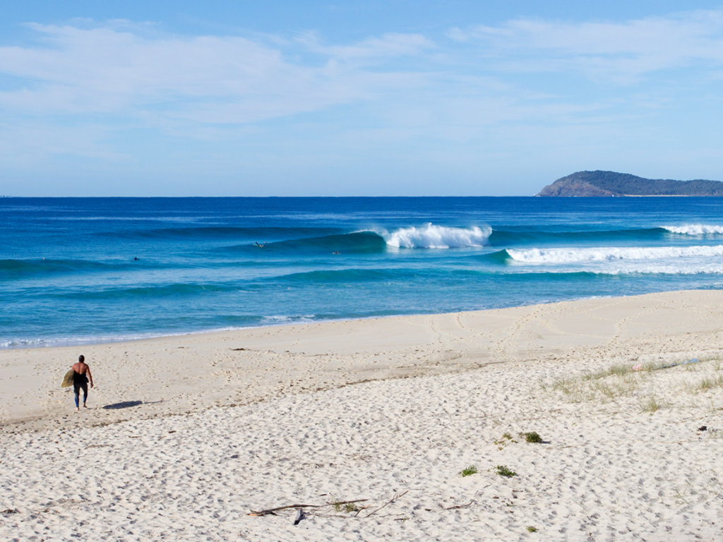
Each coastline will have its own varieties of this interplay. On the East Coast, summer time offshores are rare, and it’s even rarer to get one that will overpower the seabreeze, and yet rarer still If it happens while there’s a swell in the water. Don’t ignore those odds. The day that happens is the day you surf yourself to a prune.
(Craig Brokensha)
On hot summer days when the sea breeze doesn’t come in and the conditions remain still, it's almost certainly because the sea beeze is being held at bay by an opposing synoptic wind. It’s not that there’s nothing happening in the atmosphere, rather that the opposing forces are balancing each other.
This is great news if there’s an existing swell in the water as it won't be torn apart by the sea breeze. It’ll also mean the land temperatures rise fast as there’s no cooling breeze to moderate the heat.
However, it’s rare that a whole summer day will pass without any breeze, there’s too much happening by way of temperature changes for a balance to be maintained. You can usually expect a light sea breeze to blow sometime during the day, or perhaps it’ll fluctuate. Whatever the case, never expect stillness to persist during summer. And the take home message here? If there’s no wind, surf now.
The final point describes when synoptic winds amplify the sea breeze. If the synoptic pattern corresponds with the sea breeze - i.e they’re both blowing the same direction - then a bog standard sea breeze can get turbo-charged.
This can happen randomly all around the country, however there are two stretches of coast where the pattern is predictable and best of all, the powered sea breeze is followed by a smoothing offshore. Those locations are the NSW coast south of about Norah Head and also Tasmania’s East Coast, which arguably does better than NSW.
During spring and summer, the leading edge of pre-frontal ridges moving off the East Coast will direct northerly or nor-easterly winds down the Tasman Sea (see image 1 below). If a sea breeze is blowing, the pre-frontal winds will combine with the sea breeze to create a larger windswell than a pure sea breeze ever could. It’s not uncommon to see 4-5 foot waves from these systems in Sydney, even bigger the further south you go as the fetch is greater. Hence why Tassie’s east Coast is the favoured recipient.

Image 1: Nor-east sea breezes on the lower East Coast are amplified by a northerly ridge. Note the fetch aimed toward Tassie's East Coast.
Because these winds are ‘pre-frontal’ they suddenly change direction when the front crosses the coast (see image 2 below, where the ridge has moved offshore). And here’s where it gets really good. If those winds blow deep into the night before suddenly turning nor-west, then the early birds will wake to a clean peaky windswell. Because it's a windswell the size will begin dropping as soon as the wind stops blowing from behind it.
Don't discount the quality that can be found during these events. Take a look again at the image above at right, that's a lot of ocean those winds are blowing across. Of course you've gotta be in the right place to benefit.

Image 2: As the front crosses the coast the wind switches offshore, groming the remaining swell. Be quick!
The reason these systems only occur on NSW’s south coast and Tasmania is because weather systems move west to east across the continent, so therefore the front comes through as an offshore. A similar weather system in Western Australia would have a build up of nor-west wind off the desert followed by a front that brings an onshore wind. Also, Queensland and NSW’s north coast are too far north to get regular passing fronts. These regions can still benefit from “synoptic sea breezes” but the pattern isn’t as predictable as further south.
Comments
Great read Stu.
Also, QLD and NSW don't often have enough fetch length to generate any meaningful swell.
We get the frontal wind shift, but there's rarely enough windswell for it to be anything more than a few novelty 2 footers.
Super amazing again Stu'
Goldy occasionally gets really low double onshore blow near glassy creepy comb-overs.
Super rare West- East dust storms that blow thru to NZ seem to whip the North a fair share.
So Qld is too far north to benefit from East > West synoptic winds that amp the Southcoast.
Question 1... Does Qld/NSW obtuse coastline also shape up synoptic wind effect ?
Question 2... Qld/NSW border being the longest land fetch. = (Sustained open faced rides?)
"On hot summer days when the sea breeze doesn’t come in and the conditions remain still, it's almost certainly because the sea beeze is being held at bay by an opposing synoptic wind. It’s not that there’s nothing happening in the atmosphere, rather that the opposing forces are balancing each other."
Could you boat out to this place of balance? Like what does 2 winds colliding look like?
It's more so that the air masses are in equilibrium, and this locations is where it is dead still with no wind at all. The doldrums and glassy region.