Excellent, sizeable waves ahoy!

Western Australia Forecast by Ben Matson (issued Friday May 16th)
Features of the Forecast (tl;dr)
- Great waves in Margs early Sat with offshore winds and easing size (only small metro beaches)
- Small and average Sun (tiny metro beaches)
- Poor surf Mon with onshore winds and small surf
- Strong groundswell Tues/Wed with fantastic conditions
- Large swell pulsing late Wed, easing from Thurs
- Poor conditions developing in Margs Thurs, persisting Fri with a cold front
Recap
Thursday saw wave heights in Margs build from 5-6ft to 6-8ft+ at the swell magnets by late in the day. We’ve seen a similar size range this morning before wave heights throttled back to 5-6ft this afternoon. Conditions have been pretty good with mainly offshore winds, though Tuesday afternoon did pick up a moderate to fresh cross-shore southerly after lunch. Metro beaches saw a similar swell trend with size maxing out around 2ft in Perth and 2-3ft in Mandurah.
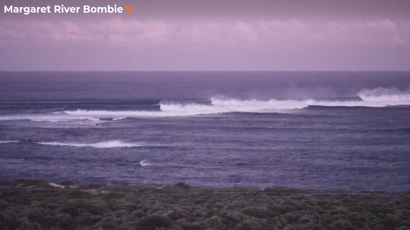
This morning was pumping, eh?
This weekend (May 17 - 18)
First up - very small surf conditions are expected across metro beaches this weekend.
Early Saturday has the most size potential, as we’ll be on a steady dowards trend both days, but don’t expect much more than a stray 1ft+ wave across the regional swell magnets. Conditions should be pretty good though with offshore winds in the mornings, tending N/NE into the afternoons.
Margs is looking quite nice for Saturday morning though the easing trend will play out across this coast too. Early morning should offer 3-5ft sets and it’ll be super clean with moderate E/NE winds. They’ll veer counter clockwise to the NE and then N/NE through the day, but probably without any major strength.
Sunday will see a similar wind regime but with more strength in the late morning/lunchtime N/NE trend which won’t assist the dying swell much. Exposed reefs should still manage slow 2-3ft sets but it’ll be best suited to the beachbreaks.
Next week (May 19 onwards)
A vigorous cold front will clip the SW WA coast through the day. Across Margaret River, this will freshen NW winds through the morning ahead of a gusty SW change around lunchtime - so conditions will be quite craptacular.
The change isn’t due into the Perth and Mandurah coasts until mid-late afternoon, and we may in fact see a period of light variable winds at dawn, and not much of a pre-frontal NW flow either (the front will be passing to the south).
We’ll be between swells on Monday anyway so wave heights will be only small.
Tuesday will start to build surf size, originating the fetch trailing Monday’s front. However, the origins of this swell will go back five or six days - this system has actually been taking shape from a position south of Africa on Wednesday, before moving eastwards through the southern Indian Ocean. It's currently looking very good on paper with a broad, long 30-40kt fetch aimed really nicely towards the WA coast.
By the time the front crosses the coast, this surface feature will be in rapid decline - but all of the associated swell energy will still be yet to make it ashore.
Local winds are looking really good too, with high pressure moving in from the west, resulting in a rapid weakening of the onshore flow overnight Monday tending light offshore by Tuesday morning. There may be some lingering wobbles at first but it’ll quickly iron out over the coming hours.
Wave heights should build to 6-8ft across the Margs region (smaller wave heights early morning), and metro beaches should reach 2-3ft (occ bigger in Mandurah) by late in the day (again, smaller early).
Wednesday is looking at similarly favourable conditions with light offshore NE winds, and a continuation of Tuesday's late size - ahead of an even bigger pulse due late afternoon across the Margs coast (probably overnight across metro coasts).
I’ve been discussing this next round of energy for much of the last week or so; it’ll originate from a rapidly deepening low pressure system sitting at the tail end of the aforementioned frontal progression.
However, the latest model guidance has re-orientated this system just outside of our swell window. As such we’re looking at partially sideband energy arriving throughout WA that will slowly trend SW to the S/SW from late Wednesday into Thursday.
Nevertheless, core wind speeds around the primary low will be upwards of 50kts and we should see some very large waves across exposed Margs locations late Wednesday afternoon in the 10-12ft range.
Surf size will slowly ease from a large peak (10ft+) early Thursday however an approaching front from the west will freshen NW winds ahead of a gusty overnight SW change. This will create poor conditions both days throughout Margaret River. The change will actually be a cut-off low that won’t display much length in its fetch, so any prospective new swell will be short range in nature and will likely ease rapidly in sync with the abating wind.
So, current thinking is that surf prospects are not great around this time frame. Metro beaches will have bumpy options both Thursday and Friday if you're that way inclined.
Looking further ahead and a major blocking pattern is expected to develop throughout the southern Indian Ocean mid-late next week as a deepening surface trough pushes down from the sub tropics, steering frontal systems away from WA’s primary swell window.
This doesn’t preclude swell generation for the WA coast, however it will interrupt the long wave pattern and this usually results in more flukey swell events from the periphery of the swell window.
Still, that’s quite some time away and will require further analysis next week.
Have a great weekend!