Great waves on the way

Western Australia Forecast by Ben Matson (issued Wednesday May 14th)
Features of the Forecast (tl;dr)
- Strong building swell size through Thursday, easing Friday, generally light winds and sea breezes
- Small waves along metro beaches, peaking late Thurs (but with freshening S'ly winds) and early Friday (with light offshores)
- Easing surf over the weekend with good winds Sat (only small metro)
- Small and average Sun/Mon
- Strong building swell Tues/Wed with a good chance for favourable winds
- XL swell on the cards for Thursday, good chance for favourable winds
Recap
Surface conditions cleaned up quickly on Tuesday with winds tending offshore, and 3-5ft sets across the Margs coast though the metro beaches remained very small. Similar conditions have played out into this morning though wave heights temporarily eased to 3ft, before rebuilding to a very inconsistent 4-6ft by late afternoon. Metro beaches are still very small.
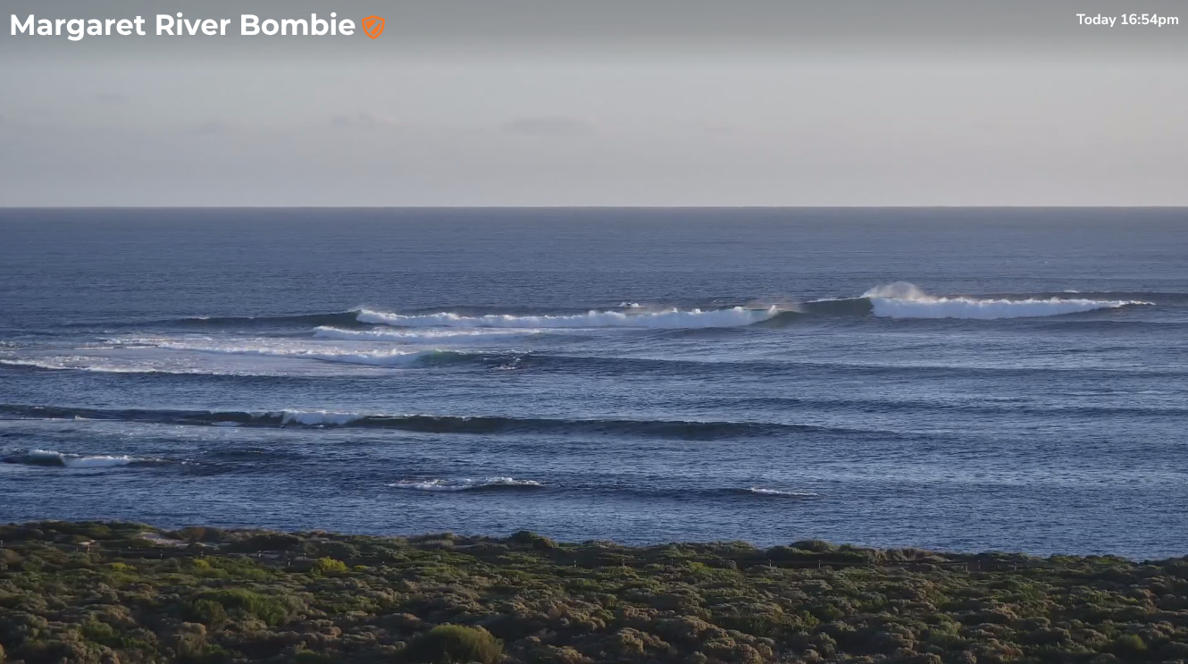
Building swell across Margs late this afternoon
This week (May 15 - 16)
The current swell regime is expected to continue a slow upwards trend through Thursday, peaking late in the day ahead of a gradual easing trend through Friday.
The overall consistency of this swell is expected to remain low, so wave counts won’t be high. Early Thursday should see occasional 5-6ft sets throughout the Margs reefs, before building to 6ft+ by late afternoon (i.e. rare 6-8ft bombs at the swell magnets).
Winds will remain light for most of the day but an approaching ridge from the west will probably freshen S/SE breezes for the last few hours of the day, which may take the sheen off things.
Expect a similar size range early Friday but with a foot or two drop through the day. Early morning winds should veer back E/SE for the early surf, trending more SE or even S/SE through the day, freshening mid-late afternoon again.
Across metro beaches we’ll see a similar swell and wind trend (though the afternoon winds will be more southerly), with surf size expected to reach 2-3ft in Mandurah and 2ft+ in Perth. Expect smaller, undersized conditions early Thursday. FRiday morning is probably the best window to aim for a paddle.
It’s also worth noting that we’re now approaching the depths of winter, so we have a smaller window for the ‘late’ session (early summer allows for surfing until 8pm+, whilst we lose up to three hours through winter) - and this can change the perception of whether a swell is on track or not.
This weekend (May 17 - 18)
Easing size is expected all weekend with favourable conditions across all coasts on Saturday as a high pressure system in the Bight directs a light NE flow across the region.
Margs may see early 3-5ft sets at the swell magnets but it’ll ease by a foot or two through the day. Winds may veer N’ly through the day but it won’t have much strength.
Sunday looks problematic in the lower south-west with smaller surf (2-3ft) and freshening northerly winds, that may be light NE early but only for a short window.
Metro beaches will see a similar declining swell trend through the weekend, only Saturday morning has any chance of a rideable wave and even then it’ll be patchy at best (1ft+ Perth, 1-2ft Mandurah). Expect smaller conditions on Sunday.
Next week (May 19 onwards)
Wave heights will bottom out on Monday as a weak front clips the coast, generating onshore winds for Margs but probably having very little influence across metro coasts.
On Tuesday we’ll start to see the first signs of new swell from a powerful storm pattern that’s already developing south of Africa right now.
Model guidance has slightly downgraded the strength of this system (since Monday’s notes were prepared) but the overall pattern remains similar - a couple of days of strong building surf ahead of a very large round of energy.
The initial swells will be generated by overlapping fronts tracking through the Southern Ocean, whereas the large pulse will be courtesy of a rapidly deepening cut-off mid-latitude low at the tail end of the frontal sequence. Model guidance has wind speeds pushing 60kts which could result in peak swell periods of 19-20 seconds.
The cut-off nature of the low means that its fetch length won't be very long, which will reduce eventual size potential at the coast - however the counter to that is that the low will be working on a very active pre-existing sea state generated by the prior frontal pattern, so it won't have to do as much work to generate large swells.
So, there's a lot to consider when estimating wave heights.
At this stage Tuesday’s expected to build into the 6-8ft range by the afternoon (smaller early), with Wednesday likely to go a little higher, however Thursday now looks like it’ll see the peak of the main event and exposed spots could push up into the 12-15ft range (deepwater reefs even higher).
Even better, the storm track will pass well south of the continent, which means it won’t have much of a bearing on local winds. There’s still a chance that we could see funky conditions at times but the overall pattern will probably be influenced by high pressure, resulting in generally light winds and clean conditions for at least one or two of these days.
Let’s take a closer look on Friday.
Comments
https://www.swellnet.com/surfcams/the-box
10:00am replay 24:35 in, sick one.
Geez it's pumping over there.
Yep, definitely live on the wrong coast! :/