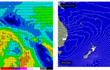
Lots of S swell ahead, becoming sizey on the weekend
Monday, 26 June 2023
Lots of S swell ahead, becoming sizey on the weekend
Monday, 26 June 2023
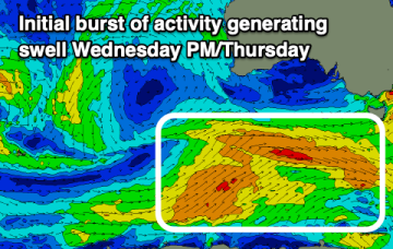
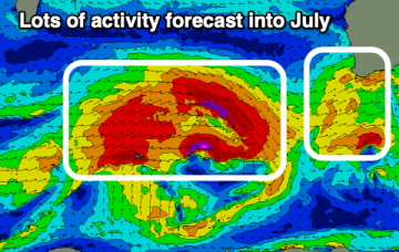
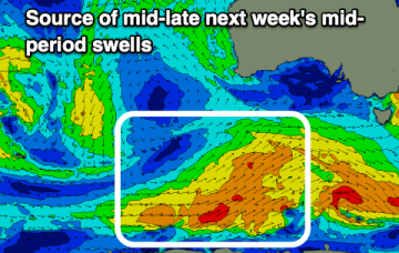
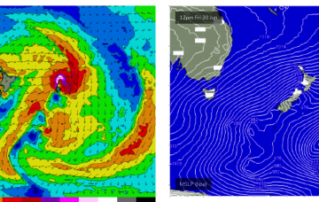
A fetch of a different magnitude working on an already active sea state Fri should see a much more substantial series of S swell pulses beginning later Fri.