Small, clean E swells short term with an unstable outlook next week
Friday, 15 August 2025
Small, clean E swells short term with an unstable outlook next week
Friday, 15 August 2025
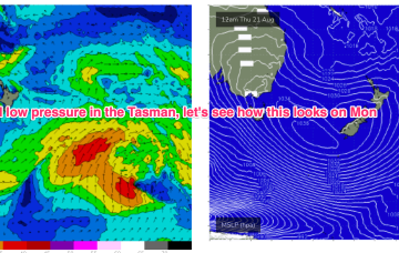
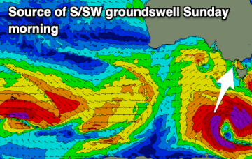
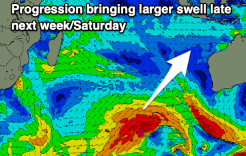
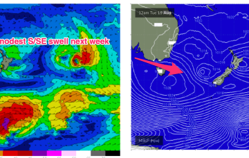
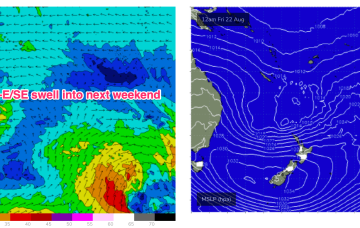
Back to looking dynamic next week. The crux of it is another very strong high moving at Tasmanian latitudes early next week. That will be the anvil for any hammer that forms next week.