Tiny/flat this week
Monday, 25 August 2025
Tiny/flat this week
Monday, 25 August 2025
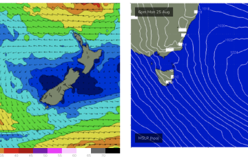
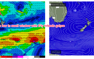
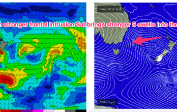
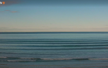
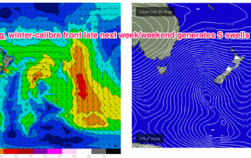
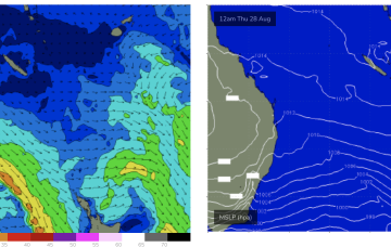
High pressure is moving up over QLD and E’ly winds are deserting the Coral Sea. That will see a period of tiny/flat winter-style surf set in this week and into the weekend.