Southern Ocean onslaught ramps up to eleven
Wednesday, 27 August 2025
Southern Ocean onslaught ramps up to eleven
Wednesday, 27 August 2025
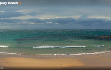
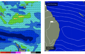
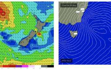
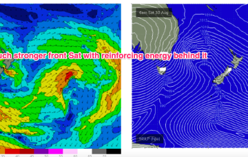
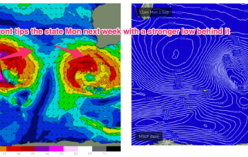
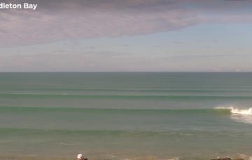
We’ve got a powerful winter swell event bearing down on the coast, with very large waves expected to develop Friday.