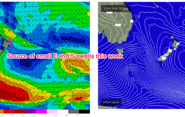
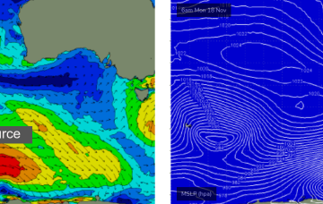
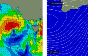
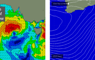
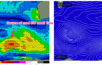
Onshore pattern but a fun mix of swells ahead tending to a persistent trade swell after mid week
Monday, 18 November 2024
Onshore pattern but a fun mix of swells ahead tending to a persistent trade swell after mid week
Monday, 18 November 2024
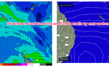
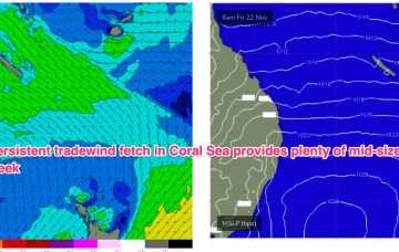
Tradewinds will supply workable swells for the sub-tropics medium term with small pulses of S swell this week favouring NSW.