Beachbreaks for teh win

Sydney Hunter Illawarra Surf Forecast by Ben Matson (issued Mon Feb 19th)
Features of the Forecast (tl;dr)
- Fun small trade swell building this week
- Undercurrent of inconsistent S'ly swell Tues/Wed
- Generally light var winds until Thurs a'noon
- Potentially solid S'ly swells Sat (but windy) and Sun (better with easing winds)
Recap
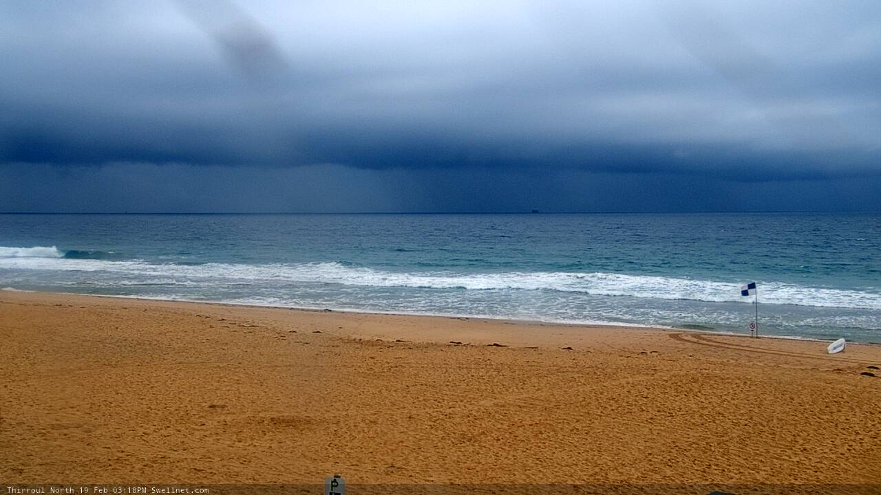
Fun round of easterly swell over the weekend, with 3ft sets on Saturday easing to 2-3ft on Sunday before levelling out at a slow 2ft this morning. Winds were generally light and variable on Saturday and Sunday, but today’s seen fresh southerly winds through the morning veer E’ly around lunchtime then briefly gusty NE as an active trough moves up the coast (bringing some thunderstorms). Winds are now light W’ly north of the Harbour, but fresh S’ly in Wollongong. There’s also a small building S’ly swell in the mix.
Heavy storms off the Coal Coast this afternoon
This week (Feb 20 - 23)
Lots of fun beachbreak surf on tap for this week.
A weak pressure gradient along the coastal margin will maintain generally light and variable winds for the next few days, and a building E/NE trade swell sourced from a restrengthening ridge across the South Pacific and Northern Tasman Sea will building wave heights from 2ft Tuesday morning to 2-3ft by late afternoon, holding through Wednesday.
Also in the mix will be a small undercurrent of southerly groundswell. It’s meant to be in the water right now but seems to be a little delayed, and whatever energy we see in next few days will be very inconsistent, but south swell magnets could pick up occasional 2-3ft sets.
The south swell will then ease back through Thursday as the E/NE swell maintains size, however we have a risk of developing N/NE winds through the afternoon (so aim for the morning).
Similar conditions will persist on Friday with intermittent E/NE swells and light moving winds freshening from the north into the afternoon. A late gusty southerly change will nose into the south coast and should push across Sydney overnight.
This weekend (Feb 24 - 25)
A powerful cut off low will push across Tasmania later Friday and enter the lower Tasman Sea on Saturday (this will be linked in with Friday’s late S’ly change).
We’ll see a solid mix of southerly swells early Saturday (mainly short range energy), with fresh southerly winds accompanying. These winds will ease back through the day, as will the short period energy to be replaced on Sunday with longer period S’ly swell originating from the parent low as it rounds the Tasmanian corner on Saturday.
Surf size is not yet clear as the models are divergent on how strong Saturday’s S’ly change will be - though this isn’t much of an issue as Saturday’s quality doesn’t look to be very high (if local winds are eating into the surf too).
But Sunday’s shaping up for a nice round of lumpy but improving 4-5ft surf at south facing beaches, with bigger sets across south swell magnets like the Hunter.
More on this in Wednesday’s update.
Also worth mentioning that there’ll be a continuation of underlying E/NE swell all weekend too, though it won’t really be visible beneath the local noise.
Next week (Feb 26 onwards)
Nothing major standing out in the long range charts right now, though the trades are expected to remain active so we’ll see a continuation of small E/NE swell into next week.
Comments
Fun peaks 3-4ft this afternoon winds ok too