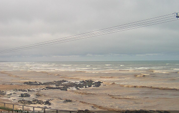
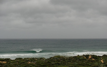
Pumping surf tomorrow with a few pulses on the radar for next week
Wednesday, 26 October 2022
Pumping surf tomorrow with a few pulses on the radar for next week
Wednesday, 26 October 2022
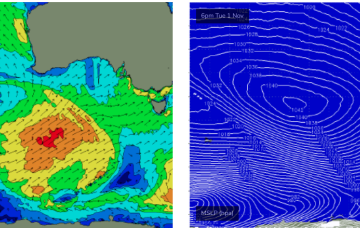
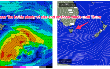
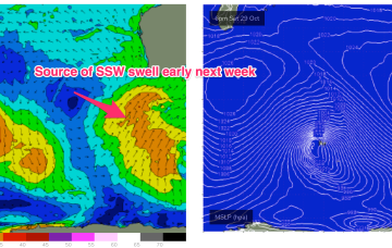
A strong disturbance near Heard Island Sun/Mon generates seas to 30ft before being shunted southwards as it passes 90E. This will generate a series of SW swell pulses beginning Tues.