Plenty of swell, but winds are tricky

South Arm Forecast by Ben Matson (issued Friday May 16th)
Features of the Forecast (tl;dr)
- Strong swell Sat, but bumpy with onshores
- Slowly easing size Sun with better winds
- Small leftovers Mon thru' Thurs
- Strong long period swell Fri
Recap
Small residual surf in the 1ft+ range padded out Thursday with clean conditions under a light offshore breeze. New swells have built in size today from 2ft early to 3-4ft into the afternoon, and conditions have remained clean with offshore winds.
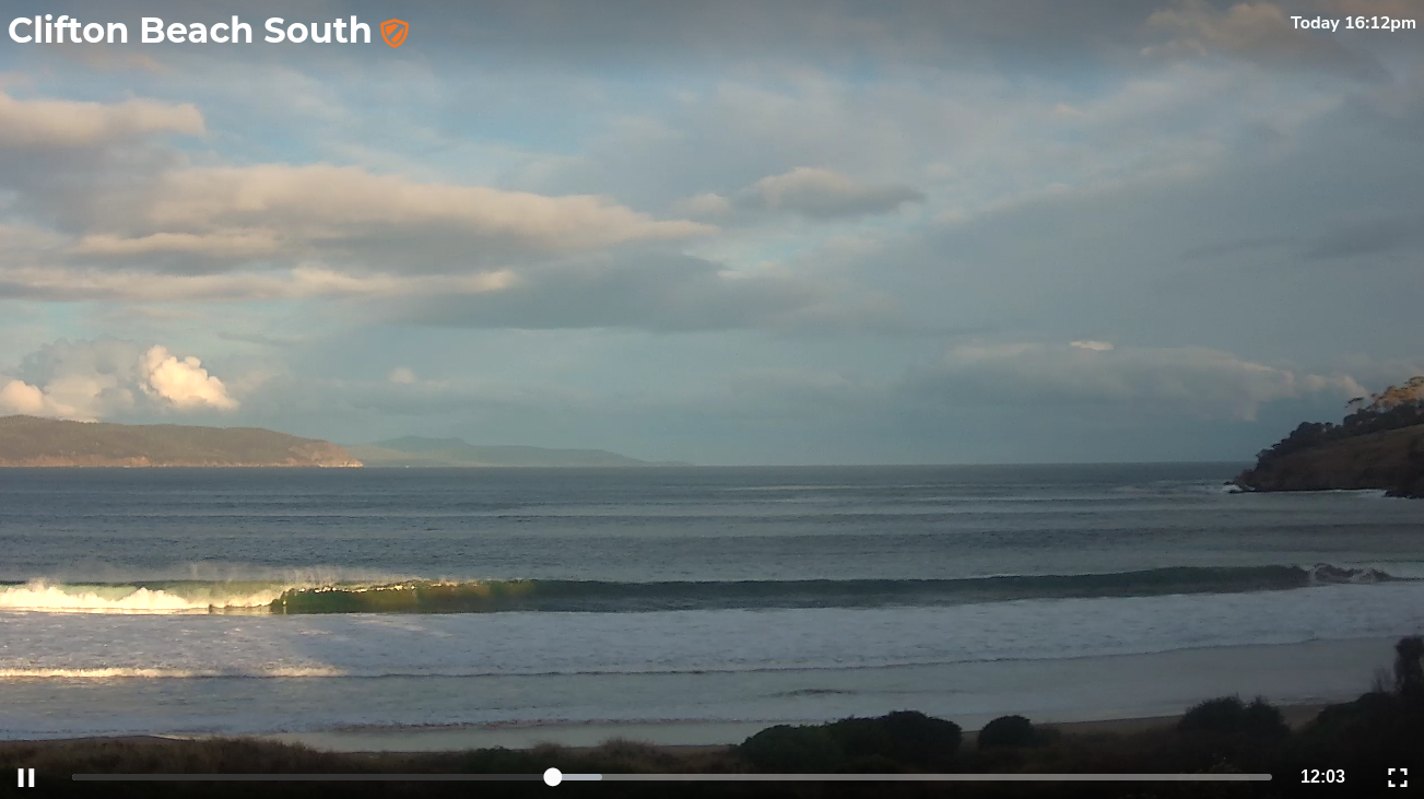
Plenty of strong lines this afternoon
This weekend (May 17 - 18)
Saturday's winds look problematic for the South Arm whilst Sunday should see improving conditions.
A cold front will clip the coast overnight and we’ll be under mainly SW winds through Saturday. There’s an outside chance for an early W’ly but it won’t last long.
Surf size will build a touch more from today but exposed beaches picking up the bulk size (3-5ft) will be wind affected and I suspect there won’t be quite enough size for the regional points. They may have small waves on the more favourable parts of the tide but overall the low pressure system generating this swell intensified in the wrong part of the swell window for any proper size to eventuate throughout the South Arm.
Slowly easing wave heights are expected on Sunday with much better conditions, size should abate from 3-4ft to 2-3ft. It won’t be perfect but it should be pretty good and wil get better as the day wears on.
Next week (May 19 onwards)
Winds will swing to the NW and freshen on Monday as another series of fronts approach from the west. However the storm track will have largely cleared away from our swell window over the weekend so wave heights will trend smaller, with size in the 1-2ft range tops (perhaps a few bigger sets at dawn if we're lucky).
Similarly small wave heights will remain from Tuesday through Wednesday and even Thursday thanks to the poor alignment of the storm track in the Southern Ocean early next week. Powerful fronts will pass below the state but they’ll be aligned in a strong zonal (west-east) flow so we’re looking at small levels of swell spread back up into the South Arm.
However, the end of the week is looking very promising.
A powerful series of storms will have tracked through the southern Indian Ocean and into the Southern Ocean over the previous weekend, generating large surf for the WSL in West Oz (Tues onwards).
The early stages of this sequence will be unfavourably aligned within our swell window (as per above), but a much more significant swell will arrive sometime Thursday afternoon, generated by an intense polar low at the tail end of the first frontal progression. Leading edge swell periods could register as high as 20+ seconds at Cape Sorell though the bulk of this swell will be located some distance behind and it probably won’t start building surf size until Friday.
Again, this system won’t be perfectly aligned within our swell window but the size, strength and duration of the polar low should allow for some very strong swell lines to peak in size around 3-4ft in the South Arm.
It’s too early to have confidence on local winds though it’s quite likely we’ll be under some form of breeze from the W or NW.
We’ll have more on that in Monday’s update. Have a great weekend!