Easing surf down south, then an extended run of great surf for the Mid

South Australian Surf Forecast by Ben Matson (issued Monday 11th September)
Features of the Forecast (tl;dr)
- Today's swell at Victor easing from Tuesday, clean with offshore winds
- Smaller Wed/Thurs AM down south with offshore winds
- Tiny on the Mid Tues/Wed
- New W'ly swell on the mid Thurs but likely spoiled by N'ly winds
- Better W'ly swell for the Mid Fri with easing NW winds, light by the a'noon
- Great weekend of waves for both coasts - plenty of size on the Mid too, with generally light winds
- Stacks of surf for both coasts - and potentially good winds - next week too
Recap
Friday's large S'ly swell eased rapidly into Saturday, though Victor still picked up early 6ft sets before size eased to around 3ft on Sunday. The Mid saw 2ft leftovers Saturday down to 1ft Sunday. We've seen tiny conditions persist on the Mid today but a new S'ly swell has lifted wave heights to 4-5ft at Victor this afternoon, with super clean conditions under a light variable breeze.
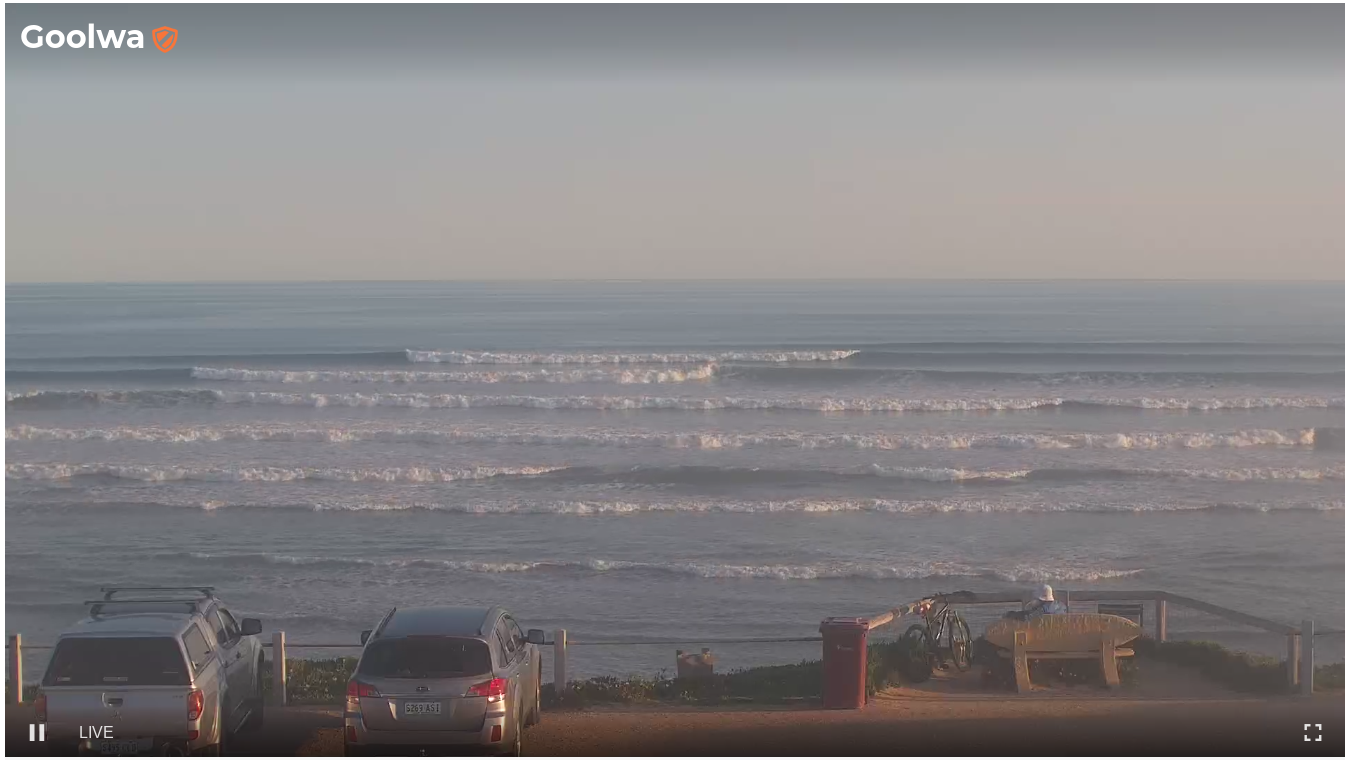
How's the corduroy at Cliffs this evening?
This week (Sep 12 - 15)
Today’s new swell at Victor will peak overnight and then ease gradually through Tuesday. With winds out of the NW it’ll be a great morning for the South Coast, with easing, inconsistent 3-4ft sets across rhe MIddleton likely to abate to 2-3ft by the end of the day (another foot or so bigger at Goolwa/Waits etc). Another reminder: expect long breaks between the sets too.
A slow drop in size will continue through Wednesday into Thursday morning, with initially light N'ly winds (Wed) becoming fresh (Thurs); either way we'll be back to the swell magnets down south for the best waves.
With no new swells expected Tues and Wed, it'll remain slim pickings on the Mid for the grommets.
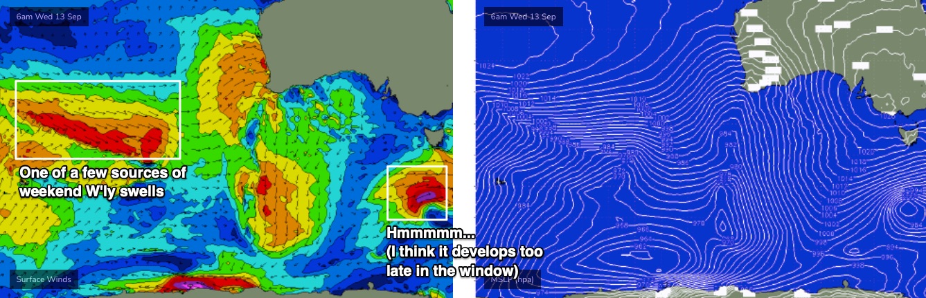
Overnight Wednesday, we'll see the first of several westerly swells move through the gulf, generated by a series of powerful fronts moving through our far western swell window, courtesy of a northern storm track above 40S (to the W/SW of Margaret River).
Initially, wave heights will be on the small size (thanks to the large travel distance) and Thursday's conditions look poor thanks to a pre-frontal N'ly breeze that'll strengthen through the day, making for choppy conditions.
However, size should reach 1-2ft+ across the Mid and it'll be worth keeping an eye out for a possible window of lighter winds (I'll have more of an idea on this in Wednesday's update).
The front is expected to clear to the east by Friday, allowing for lighter winds and better conditions. A second pulse of swell should boost surf size to 2-3ft on the more favourable parts of the tide, so Friday is well worth pencilling into your diary at this stage.
As for Victor, we'll see clean conditions both Thursday and Friday under an offshore breeze but the strong westerly component in the swell direction will restrict wave heights to 1-2ft across the Middleton stretch, with bigger 3ft sets at the regional swell magnets.
This weekend (Sep 16 - 17)
The swell charts look active for the weekend and the dominant westerly swell direction will continue to favour the Mid Coast for surf potential.
Additionally, a generally light synoptic pattern - owing to a weak ridge of high pressure - should keep winds light, and thus surface conditions clean.
The best source of winds will be a broad W/NW infeed developing in the lee of a subtropical low near WA longitudes mid-week (see chart below). Prior stages of this low displayed very strong but slightly off-axis winds, and were positioned inside South Australia's long range swell window between Madagascar and Heard Island.
At this stage Saturday is looking to deliver the best waves with size around the 3ft mark across the Mid Coast; Sunday looks similar though we really need another day or two to firm things up.
Down south, we'll see a little more size than Friday but with a disproportionately large range in wave heights between protected locations (i.e. Chiton/Dump) and exposed spots (i.e. Goolwa, Waits). Let's peg the MIddleton stretch around 2-3ft, with 3-5ft surf on offer at Goolwa/Waits etc - I think the models are slightly overcalling this swell, and not properly taking into account the dominant westerly swell direction.
Regardless, it'll be a great weekend of waves on both coasts.
Next week (Sep 18 onwards)
In general, the Long Wave Trough moves slowly eastwards through the Southern Ocean, so these kinds of westerly swell regimes are often replaced with south-west patterns once the LWT passes Tasmanian longitudes.
However, in the current scenario there is a suggestion that the LWT may stall over WA longitudes later this week, delaying its eastward movement and prolonging activity in our western swell window. It’ll eventually shift, and in the interim, we do have plenty of surf potential as the storm track will be closer to the mainland (so, wave decay will be reduced, owing to a shorter travel distance).
The beauty of this pattern for SA is that we're looking at potential a continuation of favourable light winds (weak pressure ridge across the coast) along with strong swells from the W/SW that should continue to provide plenty of surf along the Mid Coast in the 3ft range, along with plenty of options down south, which should build a little more than over the weekend thanks to the swell direction edging ever so slightly south of west.
All in all, it's a great period of surf coming up for the entire South Oz coast.
More on this in Wednesday’s update.