Continuing poor outlook, hang in there!

South Australian Surf Forecast by Ben Matson (issued Monday 20th March)
Features of the Forecast (tl;dr)
- Poor conditions at Victor for quite a while
- Generally tiny to flat conditions on the Mid Coast; outside chance for a small pulse this arvo, maybe some tiny lines Fri/Sat/Sun if we're lucky
Recap
The cross-onshore change reached Hindmarsh Island at 6:22am Saturday, a little earlier than expected, wiping out Saturday's expected brief window of clean surf. As such it’s been horribly onshore down south ever since, with little surfing options. The Mid Coast has remained tiny though there are teaser 0.5-1ft lines coming through the reefs today that could lift a little more into the afternoon.
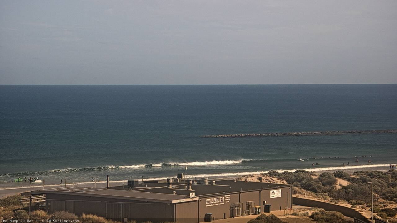
Small lines showing at The Hump late morning Monday
This week (Mar 21 - 24)
Looks like a poor couple of days ahead for the Victor region, mainly due to local winds. They’ll be the by-product of a ridge of high pressure across Tasmania and deepening inland trough over Victoria, which will maintain S/SE winds up until Saturday. Wind speeds may throttle back at times but without a synoptic offshore to clean it up, it really won't be worth a look.
It’s a real shame about these local conditions, because there’s plenty of swell due on Tuesday at least, sourced from an active frontal progression late last week and into the weekend.
As per Friday’s notes, there’s still a chance for a small pulse of surf on this Mid this afternoon, sourced from a slingshot fetch at the tail end of the sequence. Cape du Couedic buoy data is still on an upwards trend (size and period) and direction is close enough to SW to not completely wrote it off, but I wouldn’t expect much more than a lazy 1-2ft set every so often at the reef swell magnets at best. Though we may not see anything eventuate other than what's on offer right now, so keep your expectations low.
Easing surf through the rest of the week will maintain tiny surf on the Mid Coast. On Thursday, we’ll start to to see the first new energy from overlapping swell trains generated by another active polar storm track in the Southern Ocean, but I’m not expecting much on the Mid owing to the distance source and stronger southerly component in the swell direction (owing to the polar storm track). A tiny wave is posisle on Friday though it's unlikely to push above a foot.
This weekend (Mar 25 - 26)
The bulk energy from this next Southern Ocean sequence is expected to fill in over the weekend, sourced from a very strong though low-latitude fetch (see below)however south-east winds will persist on Saturday before easing Sunday.
I’m not confident that Victor will clean up enough on Sunday after such a long spell of onshore winds, though on paper you’ve gotta give it a chance of there being some surf. Wave heights should reach 3-4ft+ from this source so let’s take a closer look on Wednesday.
Again, I’m also not confident for the Mid Coast this weekend thanks to the poor position and orientation of the South Ocean storm track but we simply can’t rule out an occasion line rolling through the reefs. Don’t bank on a surf session though.
Next week (Mar 27 onwards)
The weekend’s swells will slowly fade from Monday onwards, and at this stage it’s looking like we have an extended quiet period coming up thanks to a blocking high in our medium to far swell window. There’ll still be waves on offer but it’s likely to remain small across both coasts for a period.
See you Wednesday!
Comments
It's trying!