Small, weak swells this week, better from the weekend

South Australian Surf Forecast by Craig Brokensha (issued Monday May 31st)
Best Days: South Coast swell magnets Wednesday afternoon, Saturday down South, Sunday down South, protected spots down South next week
Features of the Forecast (tl;dr)
- Easing W/SW groundswell tomorrow, bottoming out Wed AM, with a new, inconsistent mid-period SW swell for Wed PM
- N winds tomorrow, N/NE tending variable Wed
- Easing SW swell Thu with W/NW tending SW-W/SW winds
- Mix of new swells Fri with moderate S tending S/SE winds, easing Sat with freshening N/NW winds
Recap
Good waves across the South Coast Saturday with clean conditions and easing 2-3ft sets across Middleton, small into yesterday morning. The Mid Coast was a tiny 0.5ft on Saturday with a new, inconsistent W/SW groundswell pushing in at 1-1.5ft yesterday morning, pulsing a little to 2ft through the afternoon but not quite to the size and expectations forecast on Friday. Winds created bumpy conditions as well, coming from the north.
This morning the W/SW groundswell is on the ease with tiny, bumpy waves on the Mid, clean but small down South..
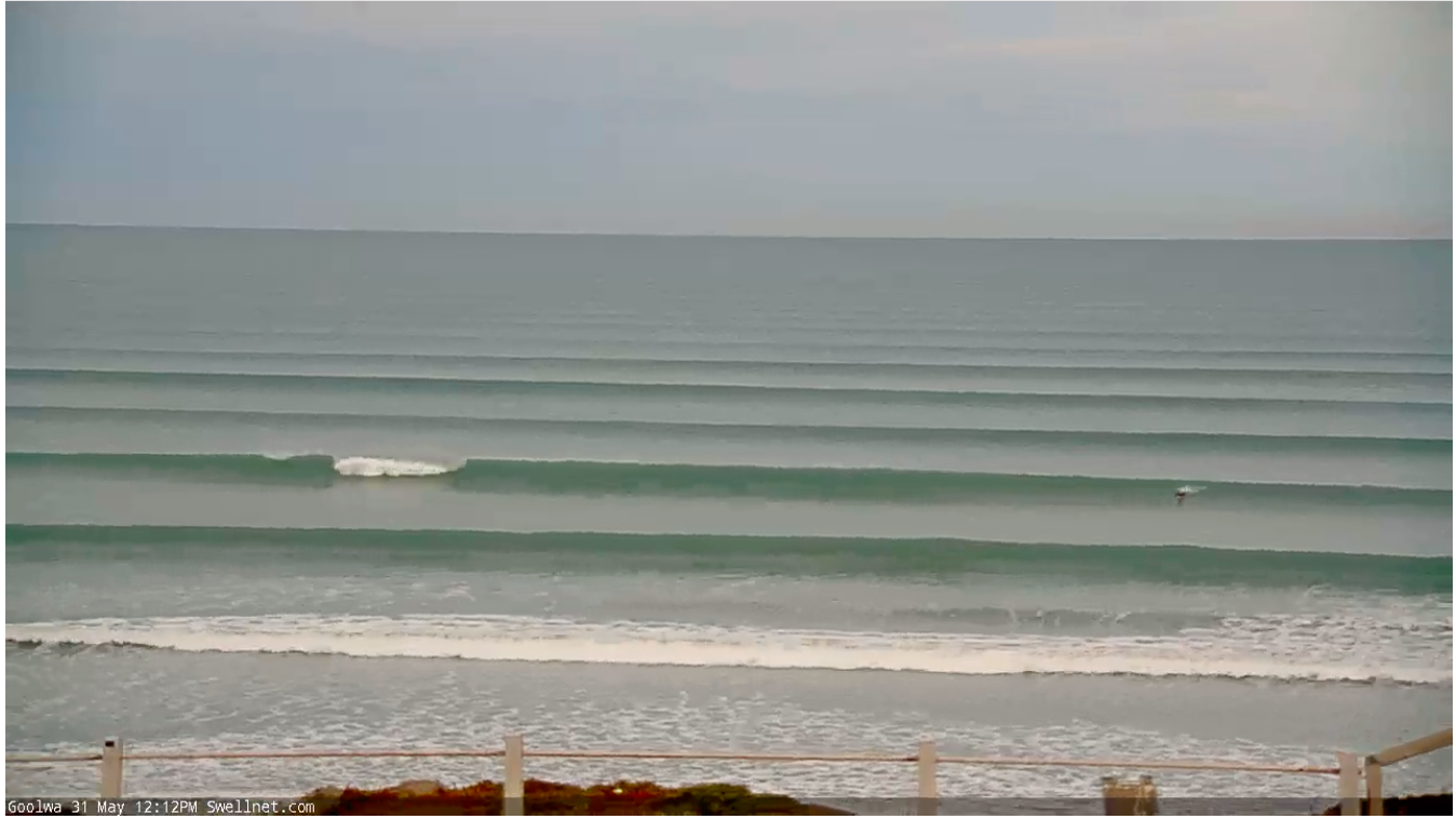
Stacked little lines at midday today
This week and weekend (Jun 1 - 6)
The coming week isn't too crash hot regarding swell potential but there'll be nice offshore winds for the South Coast.
Unfortunately the size will bottom out tomorrow, reaching a low point Wednesday morning.
You'll be lucky to find anything over 1-1.5ft across Middleton tomorrow, likely 2ft max at more exposed beaches, near flat Wednesday morning. The Mid will be tiny to flat and winds will be moderate to fresh but easing out of the N'th most of tomorrow, N/NE tending variable on Wednesday.
A new, inconsistent, mid-period SW swell for Wednesday afternoon is on track, generated by a short-lived and not overly strong polar front over the weekend, south-southwest of Western Australia. This front is now weakening while moving east with an inconsistent swell due to build Wednesday afternoon, reaching 2ft to possibly 3ft across Middleton, tiny on the Mid Coast.
This swell will then ease Thursday with a period of light W/NW winds at dawn, giving into a SW change mid-late morning, W/SW into the afternoon.
Friday will unfortunately see winds swing proper onshore and out of the S'th tending S/SE across the South Coast along with a new mix of swells.
An initial tight polar low firing up in a similar position to the weekend's polar front will generating a small, inconsistent SW groundswell for Friday, but this will be mixed with mid-period SW energy from weak, pre-frontal and post-frontal W/NW-W/SW fetches moving under the country late week.
Size wise Middleton only looks to come in 2-3ft, with the models incorrectly mixing swells and over-forecasting the size, tiny again on the Mid Coast and to 1ft.
A trailing fetch of weak S/SW winds behind the front bringing Friday's onshore winds will keep the surf up around 3ft across Middleton Saturday morning as winds swing back to the N/NW, holding all day and freshening.
This will be ahead of a stronger frontal progression and more size into Sunday afternoon and beyond, but with stronger winds out of the west. More on this in the coming updates.