Easing surf with tricky winds, with more surf next week

South Australian Forecast by Craig Brokensha (issued Friday 27th November)
Best Days: Mid Coast for beginners tomorrow, Sunday and Monday, South Coast tomorrow morning, South Coast Monday morning and protected spots Tuesday morning
Recap
Well, better late than never eh?
A tiny to small start to all locations yesterday morning with a low point in swell but our strong new W/SW groundswell for the afternoon was a little delayed in its arrival.
There was one warning sign regarding the timing, and that was that it hit Margaret River a few hours behind schedule on Wednesday, but with the Western Australian coast only seeing the earlier stages of the swell/low, I dismissed this and expected the push of the low east towards us to make up any possible late arrival.
Alas the swell only hit Cape du Couedic early afternoon and with a touch more south-west in the direction than expected. This saw the South Coast becoming quite solid before anything showed on the Mid Coast, with slow 1-2ft sets max seen on the peak of the high tide, reaching 2ft with the slight outgoing phase late in the day but with great conditions.
Luckily today the swell has held in with fun, glassy 2ft waves on the Mid Coast and solid, lumpy surf easing from 3-5ft down South. Conditions should remain favourable for both coasts through the afternoon with weak onshore breezes.
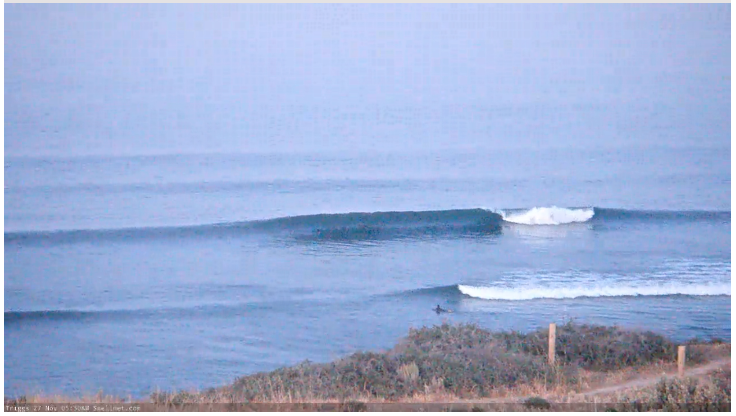
Early bird..

Glassy mid-morning runners
This weekend and next week (Nov 28 – Dec 4)
Looking at the coming weekend ahead and we've got a steady drop in size due across both coasts into tomorrow, easing from 3ft on the sets across the Middleton stretch down South, tiny and to 1ft+ on the Mid Coast.
Winds will be tricky with a trough in the region, but an offshore N/NE'ly is due to kick in down South for a period (E/SE on the Mid), giving into a S'ly change late morning, SW on the Mid Coast.
Sunday looks like a lay day with a stronger S/SW change due to move through along with a continuation of tiny waves on the Mid Coast to 1ft+, small and poor down South.
Into next week we should see building and strengthening levels of mid-period SW swell ahead of a less consistent SW groundswell.
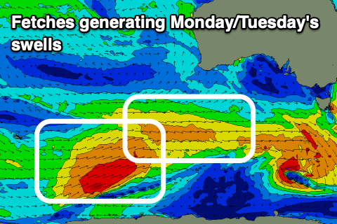 The source of these swells will be a strong, slow moving polar low that's formed just east of the Heard Island region this morning, with a front ahead of it generating strong W'ly winds and the mid-period swell for Monday.
The mid-period swell should fill in Monday and offer 2-3ft waves across Middleton more consistent to 3ft into the afternoon, with 1ft t possibly 1.5ft sets on the Mid Coast working the favourable parts of the tide.
The stronger but less consistent SW groundswell is due into Tuesday and should provide 3ft+ sets across Middleton, while the Mid Coast will see a stormy building swell with a strengthening cold front that will spawn off the polar low due to move in through the day. This will bring strengthening W/NW shifting W/SW winds and 2ft+ of windswell later.
Coming back to Monday though and both coasts look favourable with light local offshore winds (NE-N/NE down South and E/NE on the Mid) ahead of afternoon sea breezes.
This strengthening frontal system will generate a drawn out fetch of strong to gale-force SW winds in our southern swell window which will produce moderate amounts of S/SW swell for Wednesday/Thursday though with onshore winds for the South Coast.
We'll have a closer look at this Monday though. Have a great weekend!
Comments
Lovely wide set at U-turns this morning.

it was a sup convention out at u/turns this morning
Love uturns when its on, im a shortboard rider and find most of the sup riders give you plenty of waves if you wait your turn and have a bit of a chat with them. Never had a issue with them out there.