Plenty more size to come, easing through the week as things heat up

South Australian Forecast by Craig Brokensha (issued Monday 27th January)
Best Days: Both coasts tomorrow morning, South Coast Wednesday morning, South Coast Thursday until mid-late afternoon
Recap
A drop in swell from Friday but with great conditions across the South Coast, clean and easing from 3ft on the sets across Middleton, smaller but bumpy into Sunday with a light to moderate onshore.
The Mid Coast dropped back to a bumpy 1-2ft on Saturday, a touch cleaner but tiny yesterday.
Some new SW groundswell started to fill in through yesterday afternoon but we've seen stronger and great waves into this morning with a peak in size, coming in around 3-4ft off Middleton with variable winds, 1-1.5ft on the Mid Coast.
This week and weekend (Jan 28 – Feb 2)
This morning we saw the first of our two pulses of SW groundswell due through this period, with tomorrow morning's coming in a little stronger in period and size.
The source of this run of swell was a stalling polar low south of WA since Friday last week, generating bursts of W/SW gales through our south-western swell window. The broadest and strongest fetch was generated over the weekend, on top an active sea state and seeing size, we should see moderate to large sized sets through tomorrow morning, on track with Friday's forecast.
 Middleton should see sets up to 4-5ft tomorrow morning, with the Mid Coast persisting around 1-1.5ft, easing slowly through the afternoon and more noticeably into Wednesday with a drop in period and size.
Easing sets from 3ft+ are expected Wednesday morning down South, 1ft on the Mid Coast.
Looking at the local winds and we should see a morning E/NE-NE breeze on the South Coast tomorrow, E/SE on the Mid ahead of local sea breezes and then NE-N/NE winds as the swell eases Wednesday morning, E/NE on the Mid.
Thursday should see N/NE tending NW winds ahead of late afternoon sea breezes. The swell will be on the way out though and a weak 2ft off Middleton, much better at Waits and Parsons.
There isn't expected to be much size on Friday with tiny waves off Middleton, possibly sets to 2ft at Waits and Parsons, but not really worth driving for. Conditions look clean again with a hot offshore N/NW breeze.
The weekend doesn't hold any hope for any decent surf with the swell bottoming out as an onshore change moves though Saturday morning, onshore and windswell Sunday.
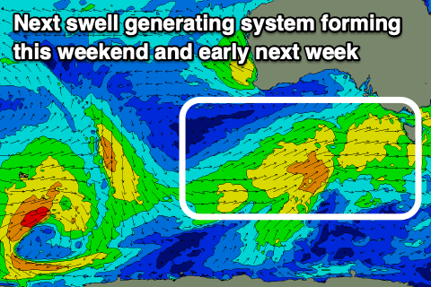
The frontal activity bringing the weekend's onshore winds will produce some new mid-period swell for next week, but at this stage there's no significant strength to the fronts and winds look poor and onshore out of the southern quadrant. The Mid Coast will offer the cleanest conditions but size wise, we're looking at tiny surf and from the south-west. More on this Wednesday.