Lots of surf options this period

South Australian Forecast by Craig Brokensha (issued Wednesday 18th September)
Best Days: Experienced surfers South Coast tomorrow, South Coast Friday, both coasts Saturday and Sunday
Recap
A fun reinforcing W/SW swell keeping the Mid Coast ticking around 1-2ft on the favourable parts of the tide yesterday with good winds all day, not the best down South with winds out of the east and lots of morning sickness and wobble.

Today the South Coast was cleaner and with 2-3ft of swell off Middleton, clean but tiny on the Mid Coast. Later this afternoon a new SW groundswell is due to fill in, kicking to 3ft to maybe 4ft by dark off Middleton, remaining tiny on the Mid Coast.
Today’s Forecaster Notes are brought to you by Rip Curl
This week and weekend (Sep 19 - 22)
This afternoon's pulse of SW groundswell was generated by a pre-frontal fetch of severe-gale NW winds moving through our swell window, with a much larger S/SW groundswell due after dark from a stronger storm-force fetch of trailing W'ly winds.
 This fetch was longer lived and well angled in our southern swell window, with the long-period swell arriving overnight and peaking early tomorrow morning to 5-6ft+ on the sets across Middleton, tiny on the Mid owing to the southerly swell direction.
The swell will ease all day and winds are looking good to great, a little gusty and from the NE-N/NE through the morning, easing and straighter N/NE into the afternoon. Friday will be better in protected locations with winds out of the W/NW and easing surf from 3ft on the sets off Middleton.
The Mid Coast will remain tiny and bumpy with a possible weak increase in W/SW windswell through the afternoon.
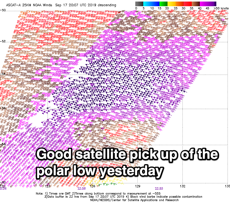
Of greater importance is the W/SW groundswell due Saturday, with a strong polar front currently pushing up and towards Western Australia. This is looking a bit weaker than forecast on Monday but will generate a great though weakening fetch of W/SW winds through our swell window over the coming days, with a slight downgrade in the expected size.
The Mid Coast now looks to build to 2-3ft through the day Saturday, likely undersized early, and to 3-4ft across Middleton.
Winds will persist out of the W/SW as the remnants of the front moves across us, likely W/NW early around Victor, while Sunday looks the pick with easing 3ft waves off Middleton under a N/NW tending NW offshore. The Mid should see a dawn N/NE breeze and easing 2ft+ sets.
Following this the swell will continue to slowly ease into early next week but with SW winds, improving from Tuesday but with no significant swells at this stage.