Small clean weekend, so so next week

South Australian Forecast (issued Friday 11th September)
Best Days: Exposed beaches Saturday and Sunday, Monday morning keen surfers early,
Recap
Clean fun surf down South yesterday with a good new SW groundswell and 3ft sets along the Middleton stretch and bigger thumping waves out at Waits and Parsons. The Mid picked up a little more size than expected with 1-2ft sets under light favourable winds.
Today the swell was small and easing with Waits and Parsons the best option for a wave, while the Mid was tiny and choppy.
This weekend and next week (Sep 12 – 18)
The weekend is set to remain small with exposed beaches the best for experienced surfers with 2ft to possibly 3ft sets tomorrow (a touch stronger Sunday), 1-2ft along the Middleton stretch.
Conditions will be great with N/NW tending variable breezes tomorrow and then N'ly tending N/NW winds Sunday.
The Mid Coast is expected to remain tiny tomorrow, with a possible late kick in new W/SW swell but only to 1ft.
Monday's long-range W/SW groundswell has been downgraded a touch further, with the storm generating the swell being not as well aimed for us and aimed more towards North West WA.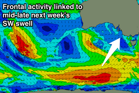
Only a very inconsistent 1-1.5ft wave is now due through Monday on the Mid, with the South Coast seeing very inconsistent and small 2ft sets at Middleton with 3-4ft waves at Waits and Parsons. Winds are set to be N/NW early, swinging W/SW through the morning, so it won't be the best day of waves.
Tuesday should then see the swell ease with lingering S/SW winds in the wake of Monday's change, creating average conditions.
Unfortunately our SW groundswell for Wednesday and Thursday has been downgraded with the strong polar frontal progression linked to it now due to be weaker and stay at polar latitudes.
A small to moderate SW groundswell event is due Wednesday afternoon and Thursday, with a broad and elongated fetch of W/NW to W'ly gales along the polar shelf later in the weekend and early next week.
The groundswell should build to 3ft at Middleton with 4-5ft sets at Waits and Parsons but early light NE winds will freshen from the S/SE and persist from the E/NE tending SE on Thursday as the swell eases. The Mid isn't due to see any size from this swell and come in at a tiny 0.5ft.
Longer term there's some stronger long-range W/SW groundswell energy due into the following week, but we'll review this on Monday. Have a great weekend.