Fun south swell early next week

Eastern Tasmania Surf Forecast by Ben Matson (issued Friday 25th October)
Best Days: Late Sun/Mon/Tues: fun S'ly swells at south swell magnets. Next Fri/Sat/Sun: N/NE swell potential.
Recap: Thursday was tiny as expected. But, I gotta say I’m very surprised today’s NE windswell didn’t amount to much. ASCAT satellite observations showed a clear 30kt+ fetch in our immediate NE swell window early this morning, and although short lived, should have at least produced some 2-3ft sets at swell magnets. Alas, these winds must have lasted an even shorter duration than the model guidance estimated.
This weekend (Oct 26 - 27)
The publish time of these Forecaster Notes will be erratic this week, as Craig’s on annual leave. To receive an email when they go live, please edit your user settings here: www.swellnet.com/user
There’s actually a healthy N’ly fetch developing off the Central - Mid North NSW coast this afternoon, that will generate a peaky NE swell for Southern NSW on Saturday morning.
Ordinarily I’d assume it’d penetrate down to Eastern Tasmania (late afternoon) but given this morning’s no-show, I’m reluctant to make a call on it. So, expect tiny conditions at most beaches on Saturday.
In any case, conditions will be clean but windy with fresh offshore winds as a series of fronts cross the state.
They’ll remain outside of our swell window until Saturday morning, when a small polar low well below the state will start to generate some new S’ly swell for the region.
Unfortunately, there’s been a downgrade since Wednesday’s notes were issues, as the latest models have changed the way the low evolves tonight and into Saturday.
It’s a real shame as this system looks unreal on paper in individual snapshots (see chart below), but it’ll rotate fairly quickly clockwise through the swell window, not spending enough time in any particular alignment to generate a large swell event.

Nevertheless, we’ll see building size into Sunday afternoon, and most south swell magnets should reach a late peak around 2-3ft (it’ll be much smaller earlier). We’ll see clean conditions with lighter NW winds but a mid-afternoon frontal passage will swing winds to the W/SW.
Next week (Oct 28 onwards)
Although it’s unfortunate that the low has been downgraded in size potential, there is some good news: it’s expected to linger a little longer in our remote south swell window, and should generate some useful S’ly swell for a few days early next week.
Another front approaching from the west will steer winds back to the NW Monday morning, and we should see fun 3ft surf throughout the day at south swell magnets, persisting into Tuesday (though much smaller at beaches not open to the south). Conditions will be clean with alternating winds between the NW and W as a series of rapidly transitioning fronts move over the region (Tuesday’s could be particularly windy).
The southerly swell regime will then ease slowly from Wednesday onwards.
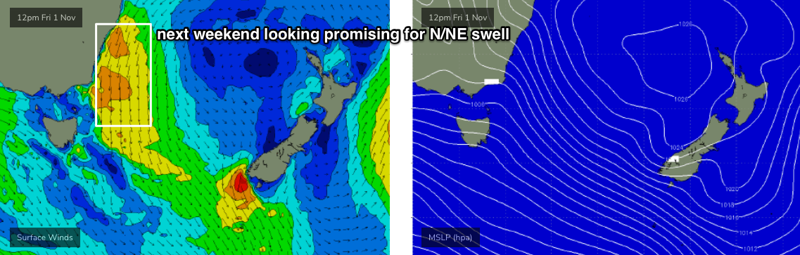
Looking beyond this, and the southern storm track looks subdued for the long term with no major swell events on the horizon. However we are expecting a prolonger fetch of N/NE winds to develop off Southern NSW from Thursday next week, so Friday through next weekend is looking good for NE swell potential.
Have a great weekend!
Comments
Hey Ben. It did. I surfed a N facing beach for two hours this arvo. Was as you said two to three foot. It was def. a wind swell so it didn’t have much power but was lining up nicely off the bank. Got some nice walls. You were right though it quickly dropped off. Must have got it at the right time. Howling gale though.
Phew! Thanks... stoked it appeared somewhere. You must have timed it perfectly!